In the realm of road network categorization and labeling, accurate mapping is essential for both efficient travel planning and enhanced safety. By leveraging advanced techniques in cartography and GIS, we can create clear, usable road maps that optimize emergency responses, transportation planning, and urban development. This article delves into the methodologies of categorizing and labeling road networks, using real-world data to demonstrate their impact on transportation and safety.
Why Road Network Categorization is Crucial for Safety and Efficiency
Our goal is to create a map of road networks with proper Categorization and Labeling of the Data. Road Networks are major factors for analysis like Fast Emergency Response: Using GIS and Isochrone Maps for 10-Minute Ambulance Arrival and GIS Analysis in Urban Planning: Reshaping Transportation Future Insights of State/city. For Demonstration purposes, we have taken the major road networks of Madagascar. All the GIS data used are available in MAPOG GIS DATA.
STEPS TO CREATE ROAD NETWORK MAP WITH PROPER CATEGORIZATION AND LABELING IN MAPOG.
Below are the steps to follow to create the Road Network map through proper categorization and labeling in MAPOG.
Step 01: Adding the DATA
- Click on the ADD UPLOAD button from the top left.
- Click on Upload Vector File
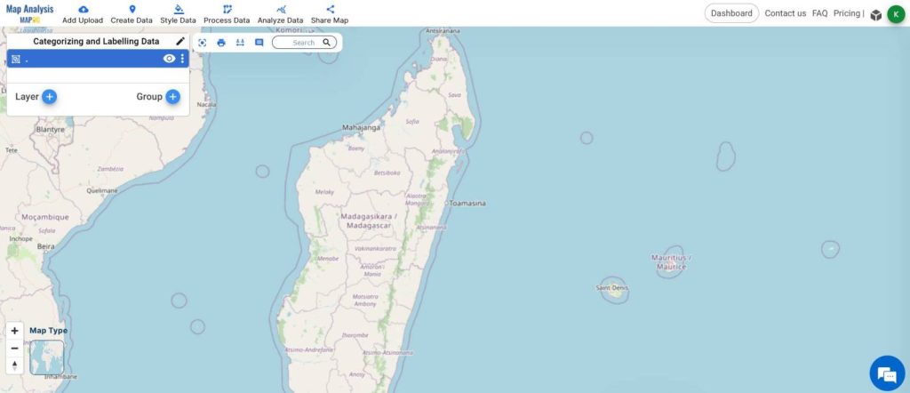
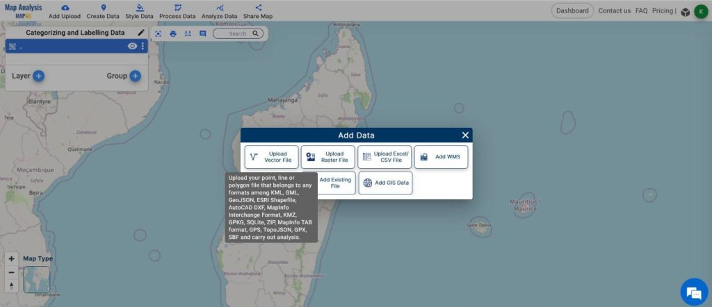
- Click on the Browse button from the right side window.
- Select all the Shapefile Layers and Hit Upload.
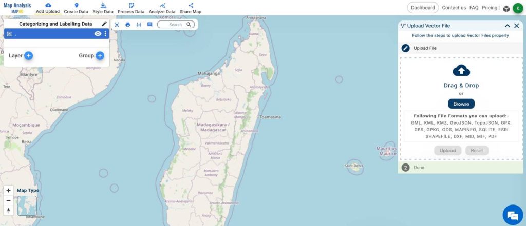
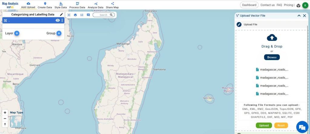
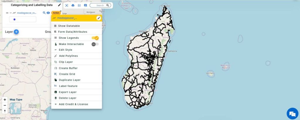
- You can check the attribute table by clicking on ACTION from the Layer Menu and Clicking SHOW DATA TABLE
02: Categorizing the Road Networks.
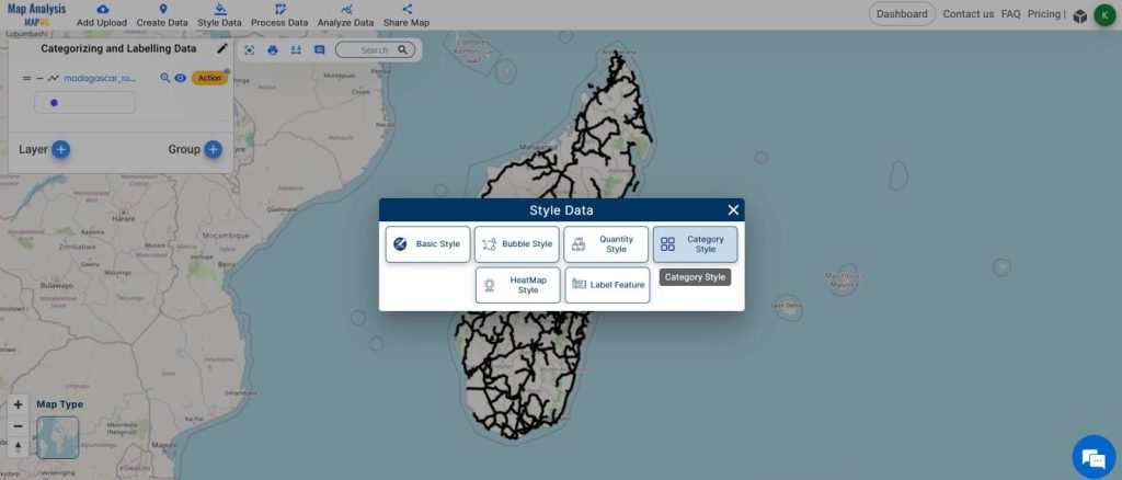
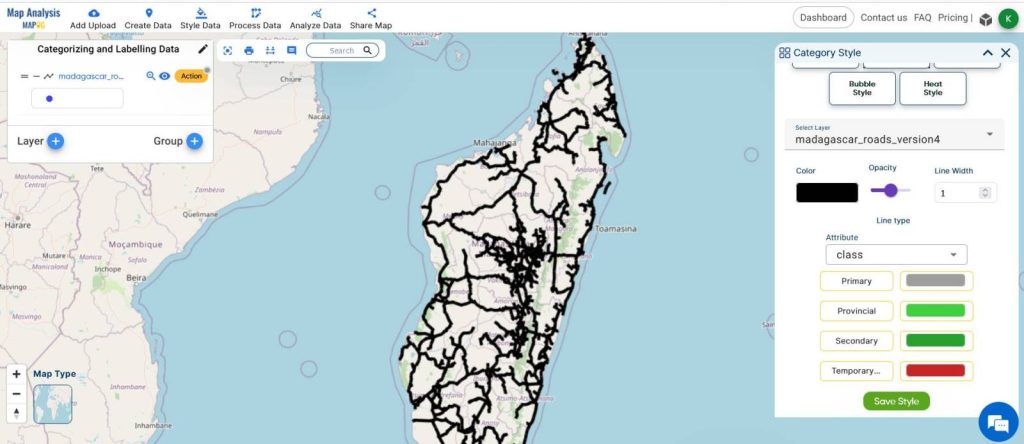
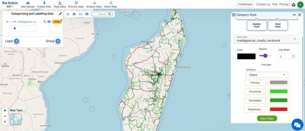
- From the STYLE DATA tool from the top, select Category styles.
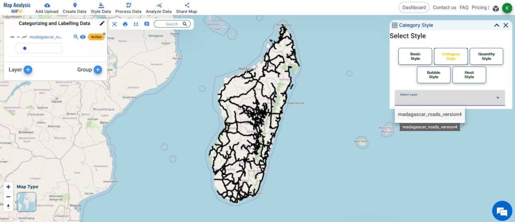
- Choose the Road Network layer from the select layer option.
- Select the Class Attribute.
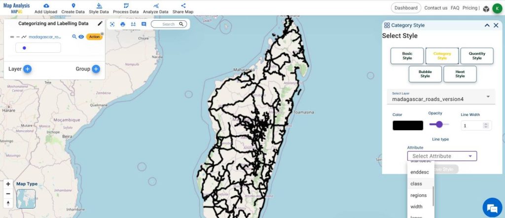
- Give the desired colors and naming and click Save Style.
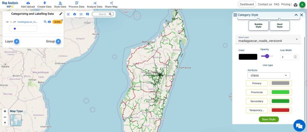
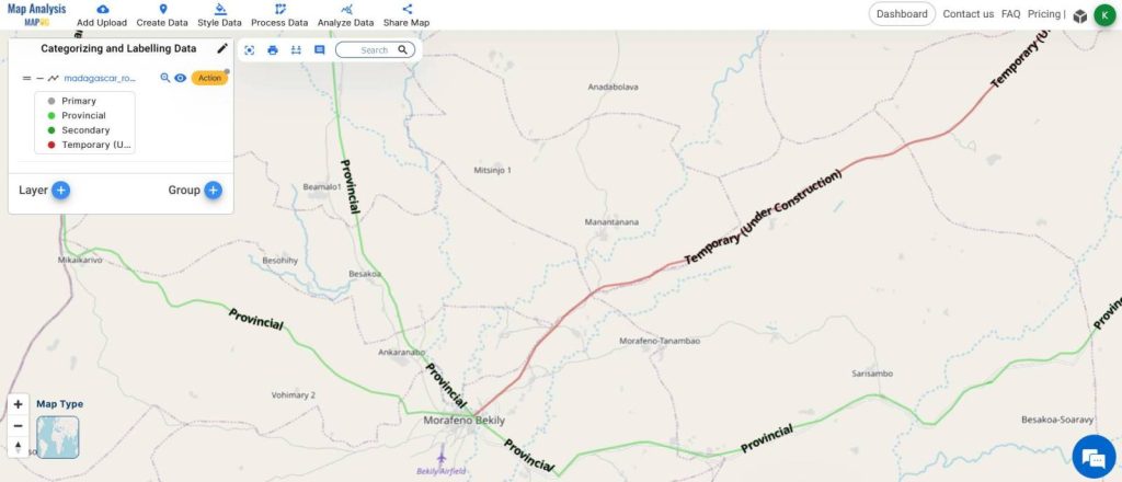
This is the map after Categorizing the layers.
03: Labelling the Road Networks
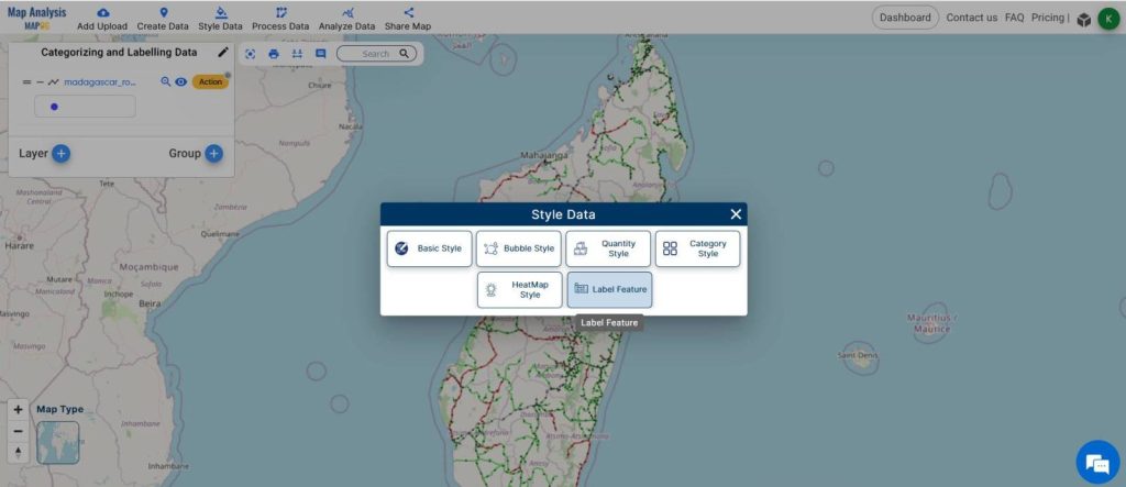
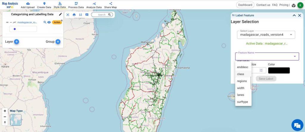
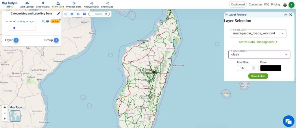
- From the Style Data, click on Label Features.
- Choose the Road Network layer from the select layer option in the RIGHT SIDE window.
- Select the Attribute Layer CLASS and format the font size and click Save Labels.
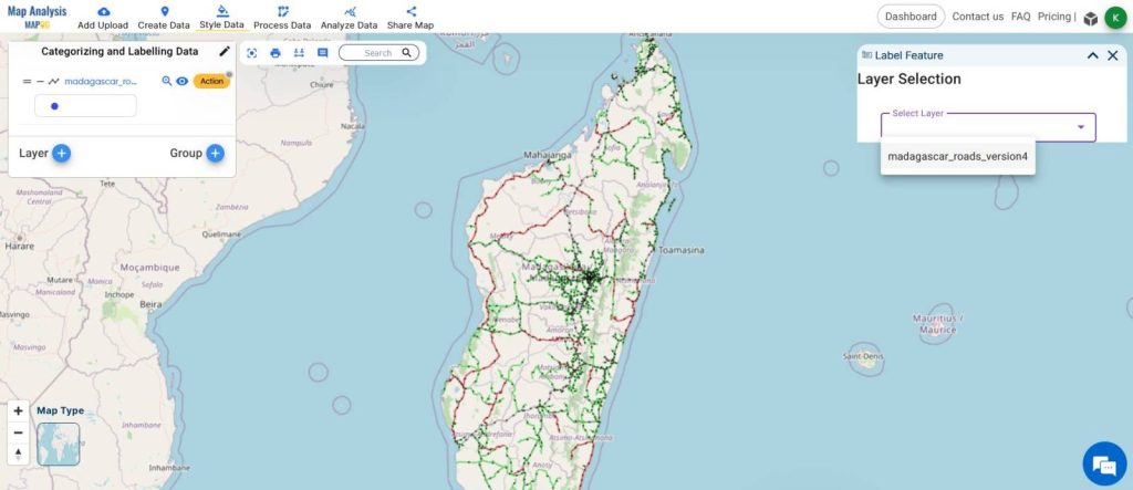
This is the map after labeling.
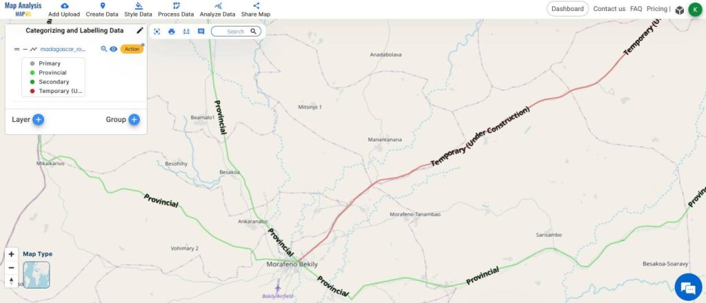
04: Observe the classified map and carry out further processes.
- Zoom in to the map to observe the labels clearly.
- Carry out further decision-making processes.
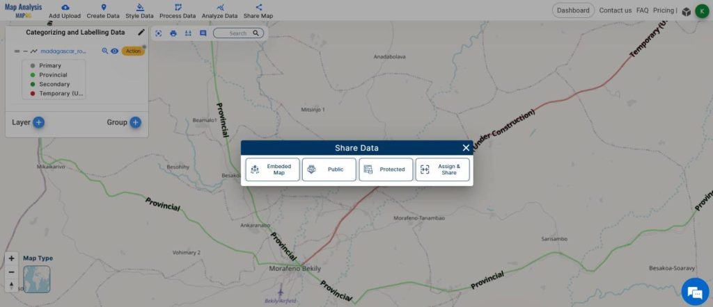
- Share the map using the SHARE MAP tool from the toolbar.
MAJOR FINDINGS
- The MAPOG MAP ANALYSIS helps in creating the Road Network Maps with ease.
- The tool is really good at Categorizing the data and Labelling the features.
- Categorizing and Labelling Road Network helps in the Clear identification of features by the users.
BENEFICIAL DOMAIN: Transportation and Safety.
Categorizing and Labeling road networks to create road maps offer substantial benefits to the transportation and safety domain. Employing tools like MAPOG Map Analysis, enhances route planning, leading to more efficient transportation systems and reduced congestion. Moreover, clear labeling assists drivers in navigating unfamiliar areas safely, promoting road safety and reducing the risk of accidents.
The MAPOG Map Analysis tool serves as a game-changer in the transportation domain, offering essential features like Categorizing and labeling the Road Network Data. For any inquiries or support needs, feel free to contact us at support@mapog.com to ensure seamless assistance and optimize your infrastructure protection strategies.
CONCLUSION
In conclusion, the categorization and labeling of road networks, facilitated by tools like MAPOG Map Analysis, play a crucial role in optimizing transportation efficiency and ensuring road safety. By providing clear and accurate maps, this approach empowers travelers and planners to make informed decisions, ultimately contributing to smoother journeys and safer roads for all.
VIEW OUR PREVIOUS BLOGS
Create Off-Road Hiking Routes: Using Bearing Angles and Distances
Creating Safe Routes for Armies and Rescue Teams
Create a Map to find suitable sites for constructing a new house