Delve into the rich legacy of ancient Indian universities with MAPOG’s Map Story feature. Through dynamic mapping technology, we uncover the profound significance of institutions like Nalanda and Taxila.
Join us on a captivating journey to explore the vibrant history and enduring impact of these centers of knowledge.

KEY CONCEPTS
Our goal is to display the Ancient Universities of India in an Educative and Interactive way to the people thereby enhancing the learning experience through MAPOG’s MAP STORY.
This article includes creating points, which is an important aspect of GIS analysis. Learn more on Creating points here Create Point, Line, Polygon on Map , Create a Map: Spatial Join Analysis of ATM Points within District Boundaries
Steps for Creating a Story about Ancient Indian University using MAP STORY
Below are the steps to follow to create the map
- Open Map Story
- Click on the Create button
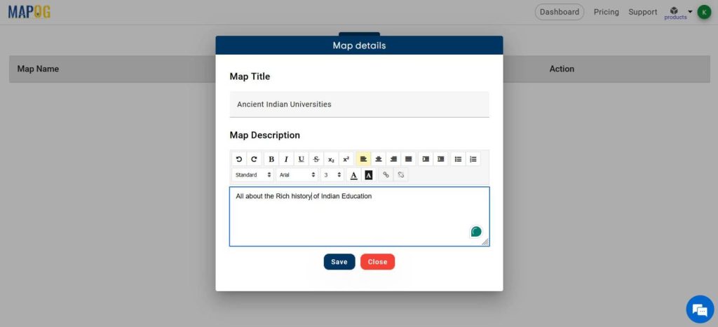
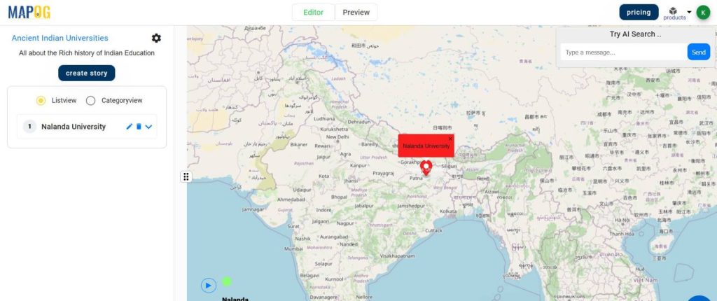
- Write the Map Title and description, click Save
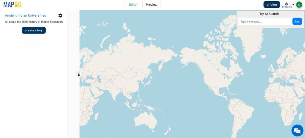
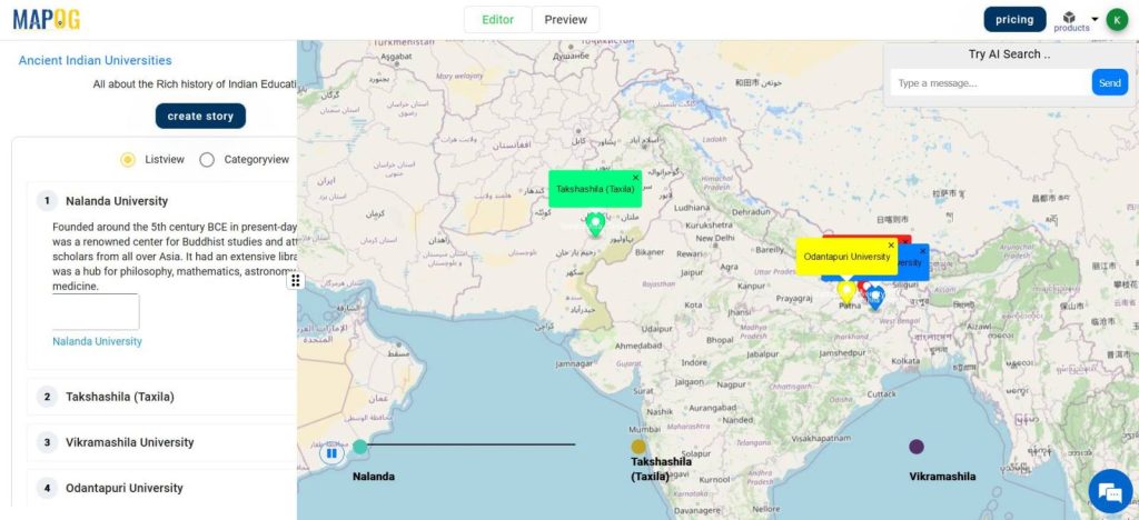
- Click on Create Story on the left of the screen
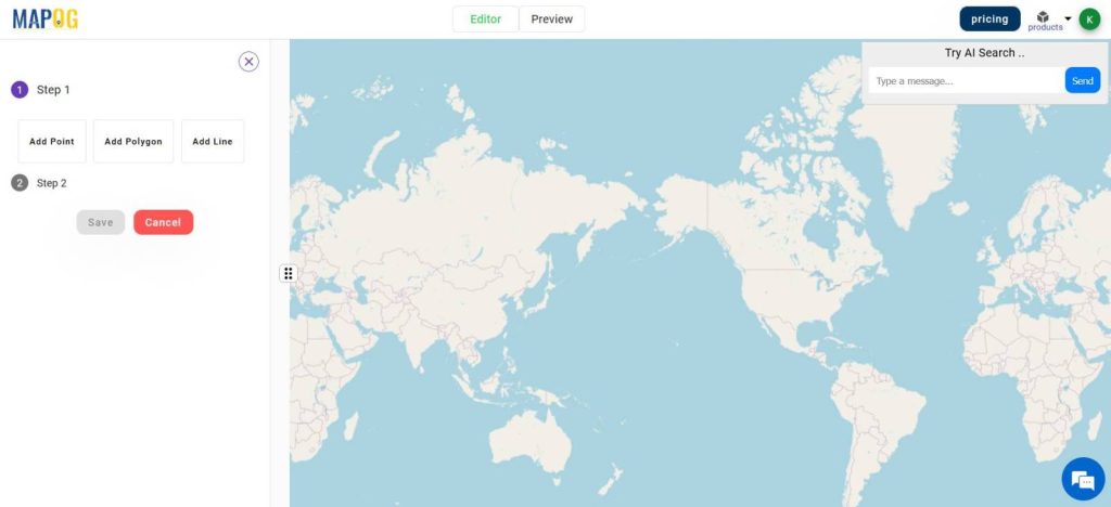
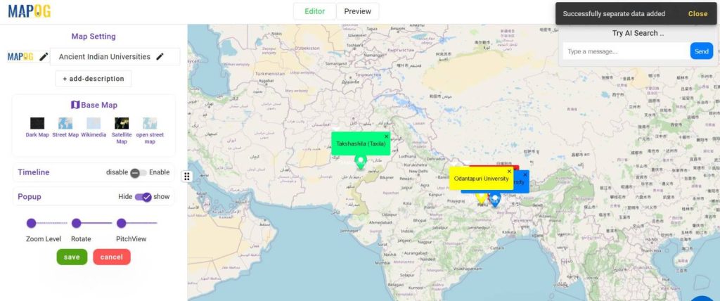
- Select Add Point and add it.
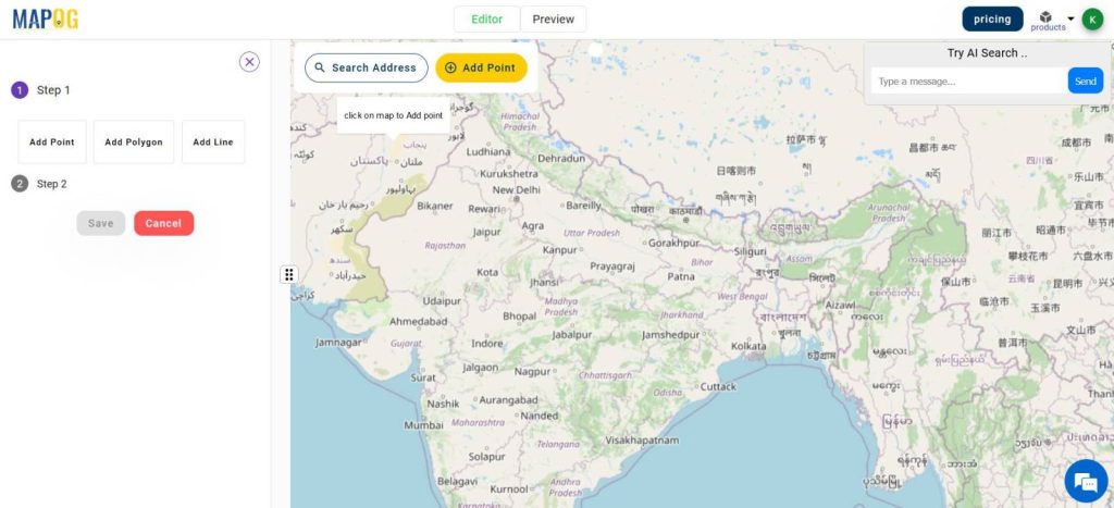
For demonstration purposes, I am adding the points based on the states where they existed. You can use the search Location feature and AI also.
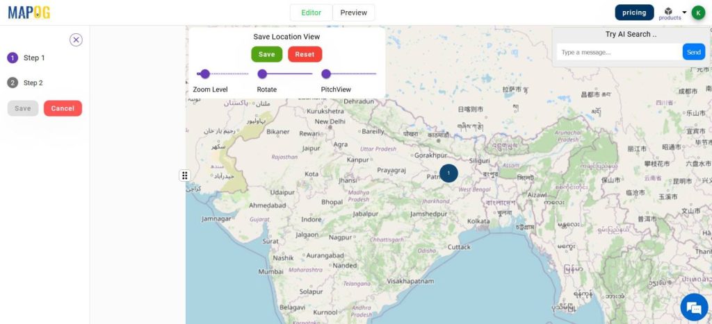
- Modify and save the Location View
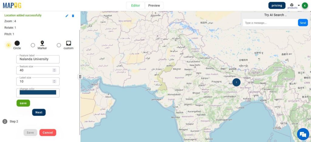
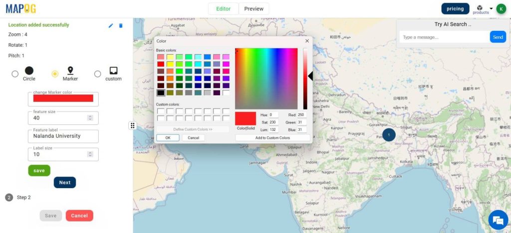
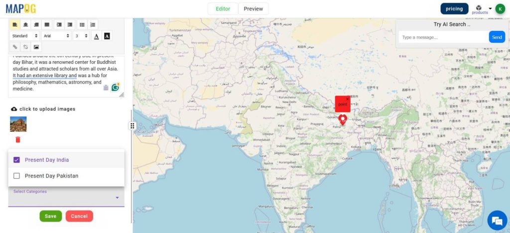
- Customize the style of the point, and hit Save, next.
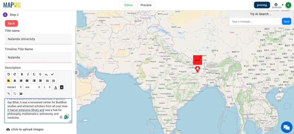
- Add a Title and description of the point.
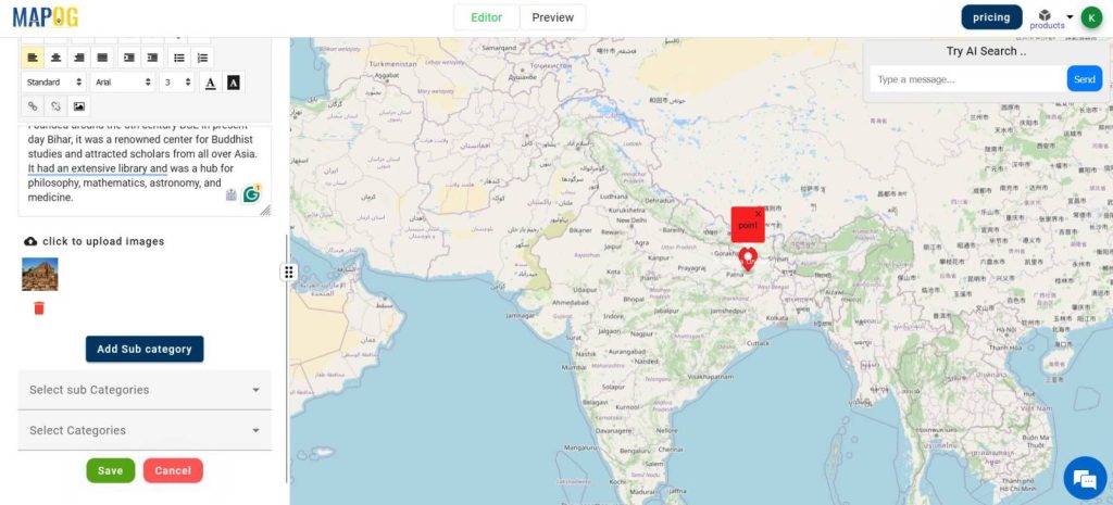
- Upload the images.
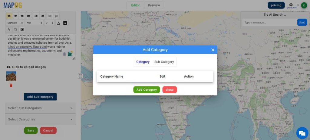
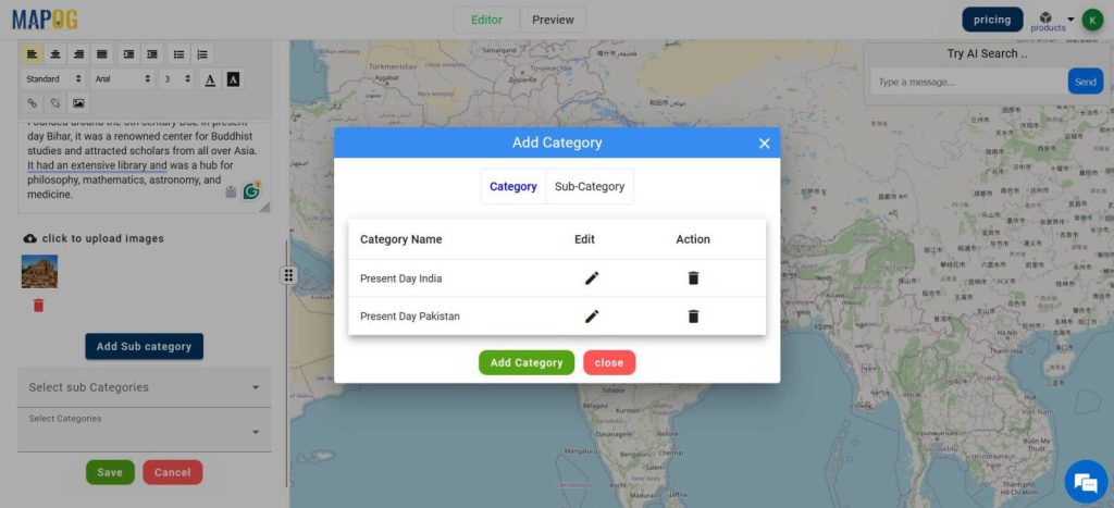
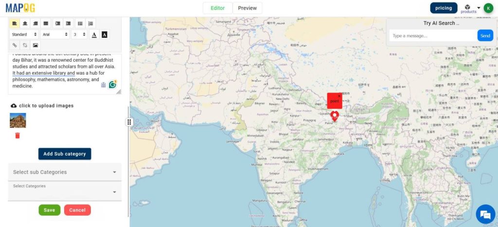
- Add Categories if necessary.
- Select Categories
- Click Save
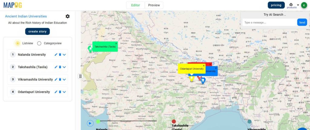
- Repeat the steps for the remaining Universities
- Change the timeline visibility from the Map Settings icon on the top left.
- Test the story by hitting the Play button on the timeline.
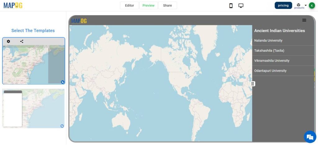
- Switch to PREVIEW to view the story
- Choose between two templates for viewing
- Click on the Play button on the timeline to play the story.
- Share the map using the share button
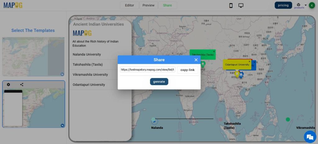
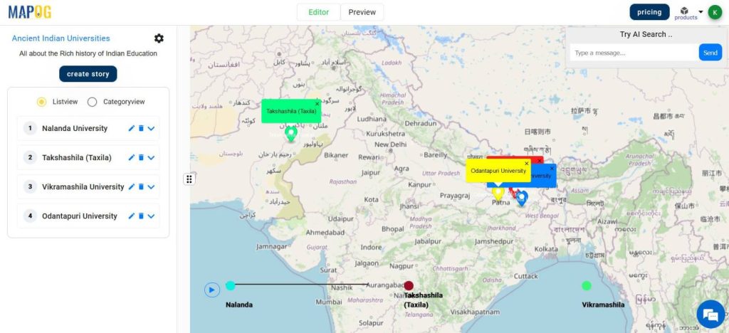
This is what the Final Map looks like.
This is how MAPOG’s MAP STORY can display the Ancient Universities of India in an Educative and Interactive way to the people thereby enhancing the learning Experience.
Map Story has applications in many domains like Urban Planning, Infrastructure monitoring, Tourism, Wildlife Conservation, etc.
MAJOR FINDINGS
- Geographical Insights: The analysis maps out the spatial distribution of ancient Indian universities, providing visual context to their locations and clustering patterns.
- Temporal Evolution: Using Map Story, viewers can track the chronological development of these universities, witnessing their rise, peak, and eventual decline over time.
- Educational Impact: By showcasing the influence and legacy of these institutions, the analysis enhances viewers’ understanding of their contributions to global knowledge systems, fostering a richer learning experience.
BENEFICIAL DOMAIN: Historical Understanding and Educational Enhancement
- Historical Understanding: The analysis enriches our understanding of ancient Indian history by providing insights into the development and significance of educational institutions during that time period.
- Educational Enhancement: Through interactive visualization and storytelling, the analysis offers an engaging educational experience, making complex historical concepts more accessible and engaging for learners.
For any inquiries or support needs, feel free to contact us at support@mapog.com.
CONCLUSION
In conclusion, exploring ancient Indian universities through MAPOG’s Map Story feature reveals fascinating insights into our past.
By mapping their locations, tracing their evolution over time, and highlighting their educational impact, we gain a deeper appreciation for the rich heritage and enduring legacy of these venerable institutions.
Through this analysis, we not only enhance our historical understanding but also enrich our educational experience, fostering a greater connection to our shared human story.
VIEW OUR PREVIOUS BLOGS
Mapping Village Coverage within 60 Minutes of Each Hospital
Create Map :Join the Excel population data to the country polygons