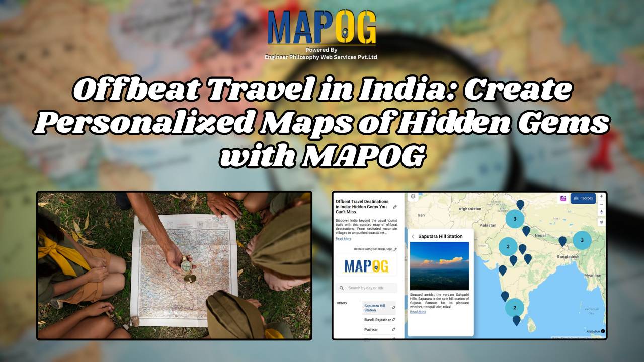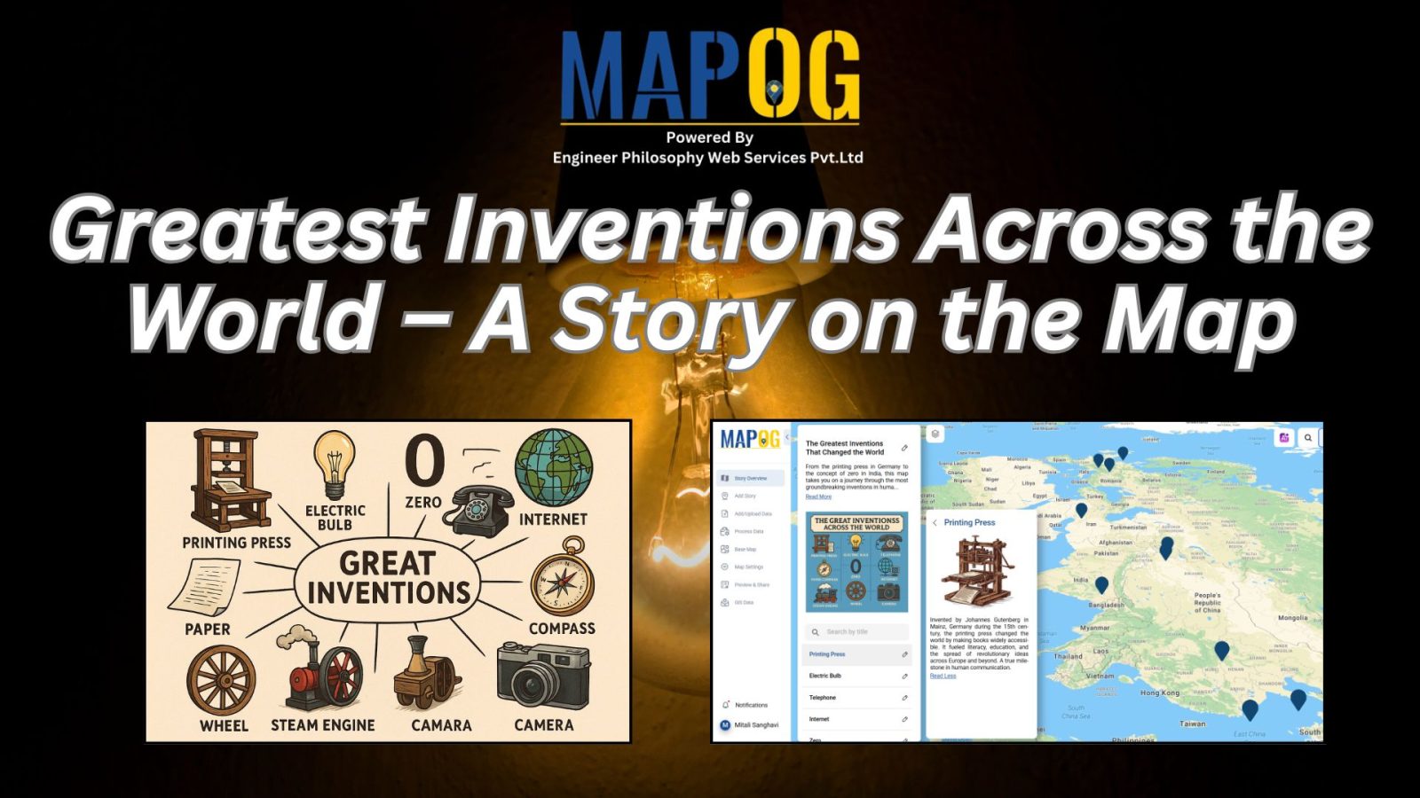
Travel Route Planning Made Simple with Story Maps
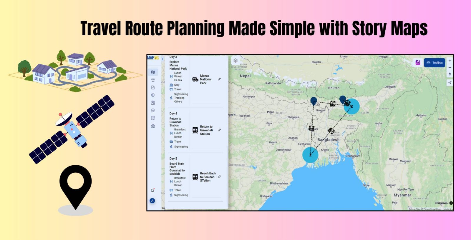
Travel Route Planning Made Simple with Story Maps, Story maps are a creative way to integrate storytelling and geographic data, enabling users to see events, experiences, and manage plans on an interactive map combine narrative text, multimedia, and maps to produce a dynamic, captivating format that improves comprehension and sharing. Users can view events, experiences, … Read more