Home Map Analysis Route Compass Download GIS Data Mobile Data Collection Field Sales & Service Territory Design Blog Contact Sign up
Category

MAPOG Analysis

399 articles in this collection

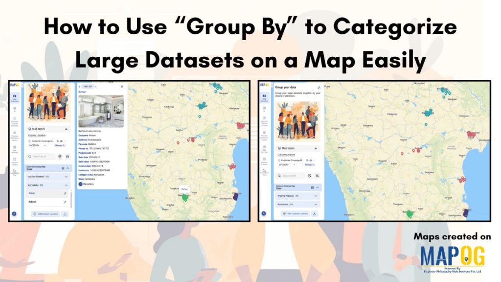
How to Use “Group By” to Categorize Large Datasets on a Map Easily
How to Use “Group By” to Categorize Large Datasets on a Map Easily

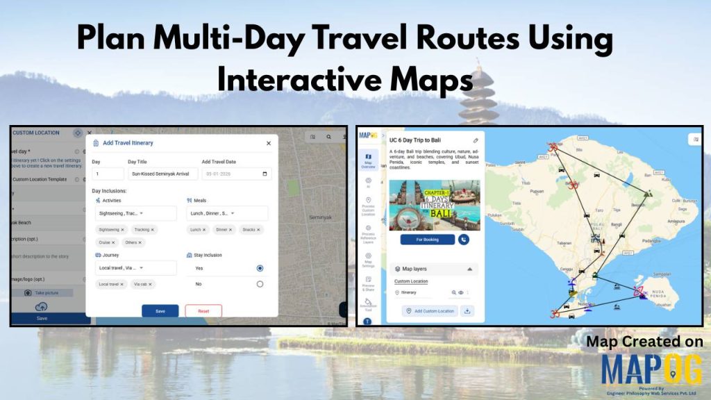
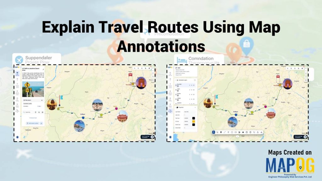
How to Explain Travel Routes Using Map Annotations

How to Explain Travel Routes Using Map Annotations

How to Filter Only the Locations That Need Action Within a 5 km Radius

How to Filter Only the Locations That Need Action Within a 5 km Radius

Visualize Franchise Coverage Using Interactive Maps

Visualize Franchise Coverage Using Interactive Maps

Check Which Customers Are Still Pending for Field Visit

Check Which Customers Are Still Pending for Field Visit

How to Share Interactive Maps with Teams or Clients Securely

How to Share Interactive Maps with Teams or Clients Securely

How Developers Use Filters to Visualize Properties by Price, Type & Status

How Developers Use Filters to Visualize Properties by Price, Type & Status

Capture Drug Inspection Data and Photos from the Field

Capture Drug Inspection Data and Photos from the Field

111121350
Page 12 of 50
← Back to blog