Create a Map for Electric Vehicles Charging Stations
By utilizing MAPOG, the suitable sites for implementing charging stations for electric vehicles near the roads can be mapped.
Mapping locations through addresses using the Geocoder tool is a game-changer in the field of Geographic Information Systems (GIS). MAPOG Map Analysis leverages this technology to convert addresses into precise geographic coordinates, enhancing accuracy in urban planning, navigation, and emergency services. Discover how MAPOG’s powerful Geocoder tool can transform your mapping projects. KEY CONCEPTS Our … Read more
In the realm of spatial analysis, understanding the distribution and types of educational institutions is paramount for effective planning and decision-making. With the advent of advanced GIS platforms, such as MAPOG, utilizing tools like proximity analysis has become instrumental in categorizing educational institutions with precision and efficiency. This article delves into the key concept of … Read more
Bubble style mapping reveals population distribution patterns, aiding decision-making in urban planning, market research, and public health.
The Point to polygon tool is used to build a polygon that represents the smallest region or area that encloses a set of points. The Point to Polygon tool essentially converts point data, representing specific locations, into polygonal shapes. These polygons serve as a visual representation of the distribution or extent of any phenomenon under … Read more
Rivers are incredibly important for our world. They shape the land, help plants and animals survive, and give us things we need to live. It’s really important to know all about rivers so we can take care of them properly. “Create a Category Style Map – Mapping Rivers in different Colors”, In this article, we’ll … Read more
Optimize your precision farming planning with MAPOG’s advanced mapping tools. Increase crop yield and sustainability through efficient resource allocation.
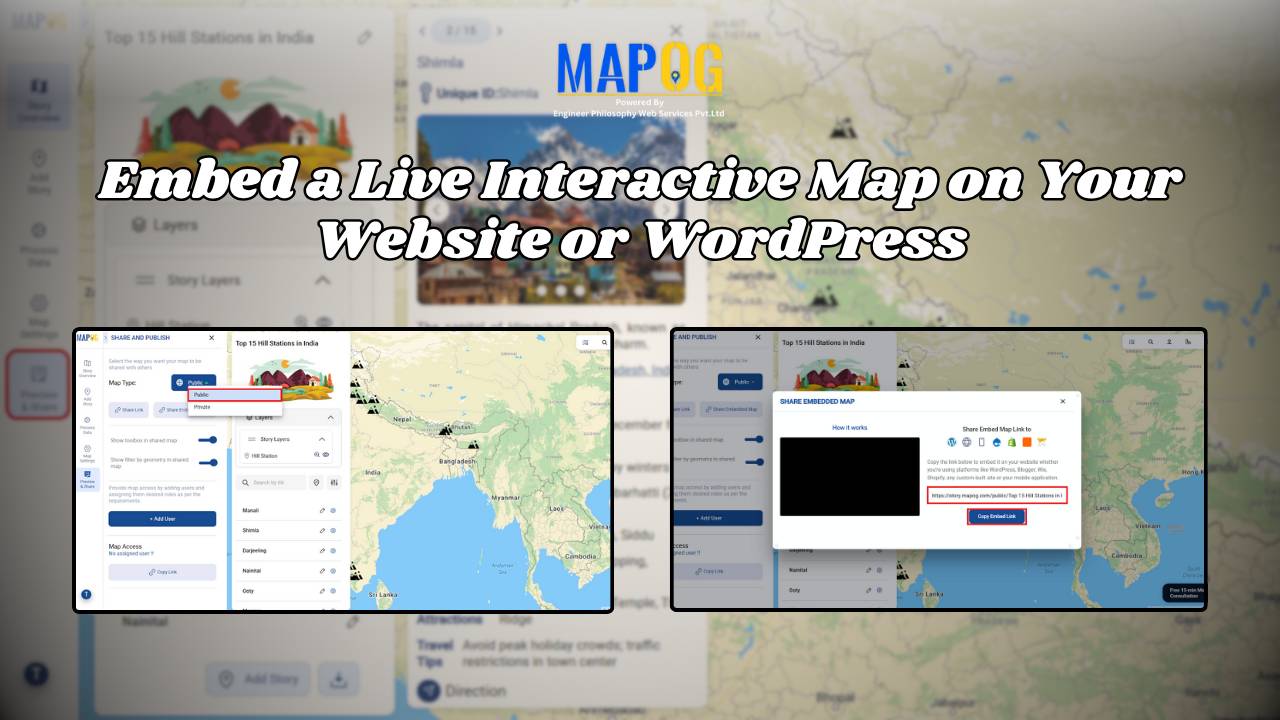
Utilize MAPOG to create map, then seamlessly embed it into your website using an embedded map tool, which enhances user experience.
Improve public health by analyzing hospital accessibility with MAPOG. Discover how to strategize healthcare infrastructure for diverse communities.
Attribute Joins enrich spatial analysis, revealing insights, informing decisions, and guiding actions across diverse domains for a sustainable future.