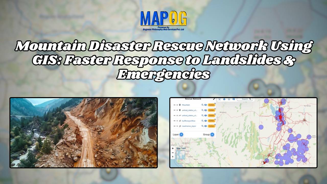
Mountain Disaster Rescue Network Using GIS: Faster Response to Landslides & Emergencies
GIS helps plan Mountain Disaster Rescue Network by finding danger zones, estimating response times, and simplifying maps for rescuers.
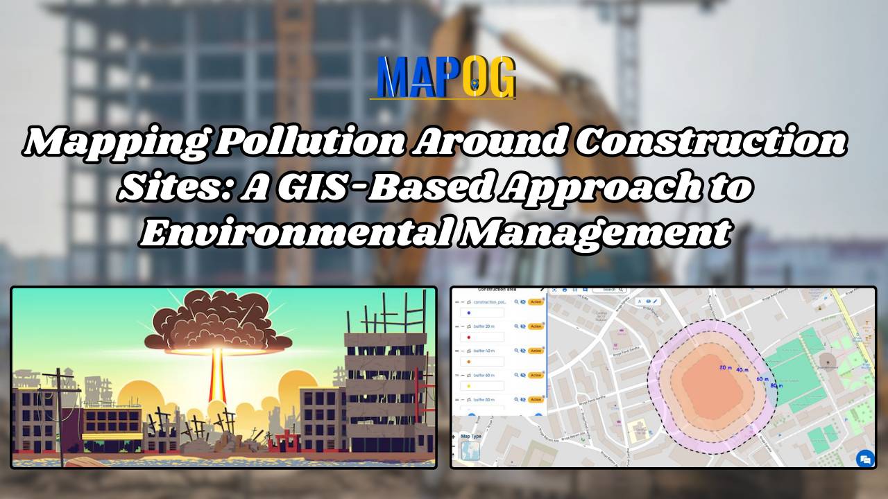
In the pursuit of sustainable development, understanding and mitigating pollution around construction sites have become imperative. This article delves into the innovative approach of utilizing MAPOG to map pollution around construction zones levels effectively. By harnessing the power of GIS technology, this study aims to provide a comprehensive understanding of pollution dynamics in construction zones, … Read more
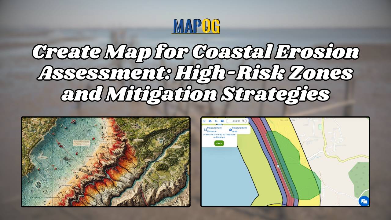
Coastal erosion poses a significant threat to coastal regions, jeopardizing not only the natural beauty of beaches but also the structural integrity of sea walls essential for coastal protection. In response to this challenge, MAPOG undertakes a comprehensive mapping initiative for coastal erosion assessment and mitigation. This article explores how MAPOG delineates erosion-prone areas along … Read more
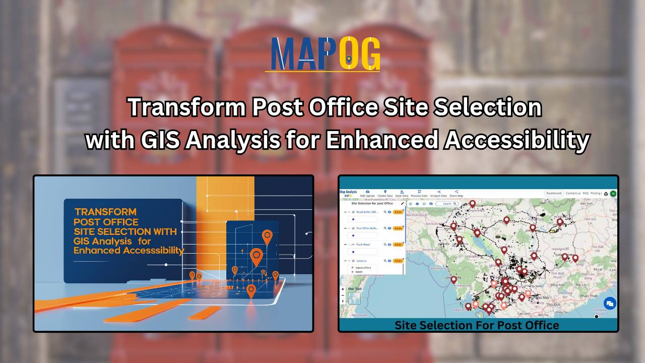
Find out how MAPOG is improving mail experiences in Cambodia with its innovative post office site selection strategy.
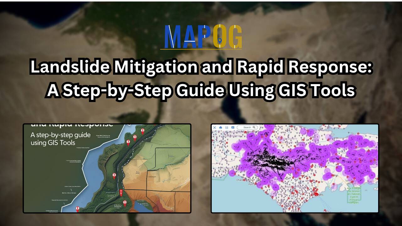
Locating landslide hotspots areas-create buffer zone-see hospitals and settlements nearby
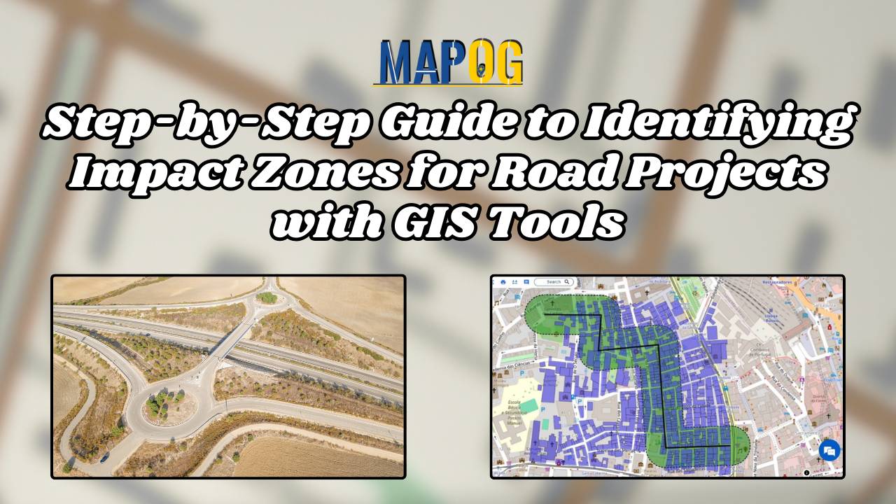
Explore how MAPOG streamlines infrastructure planning by identifying impact zones for future road projects with transparency and precision.
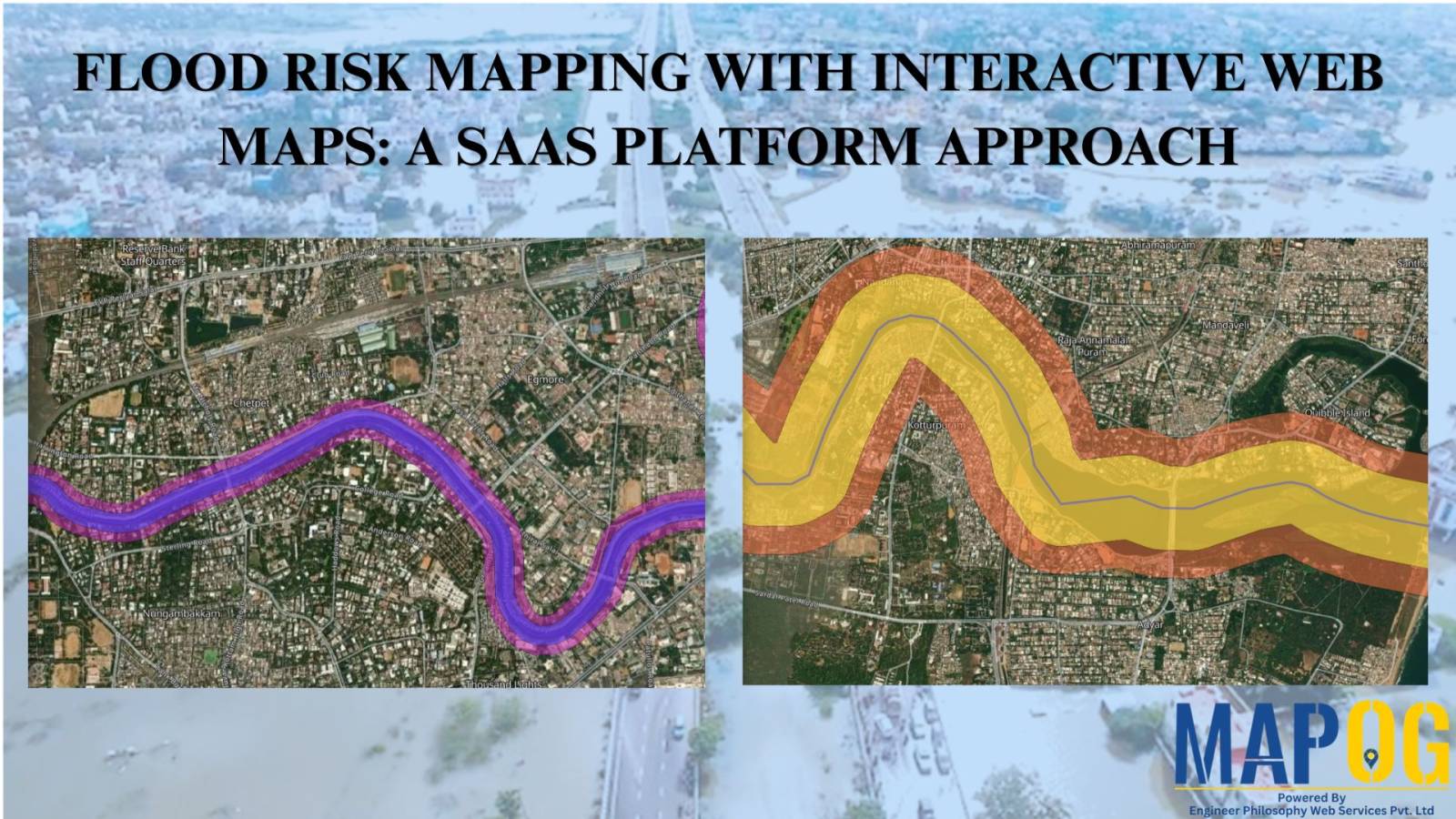
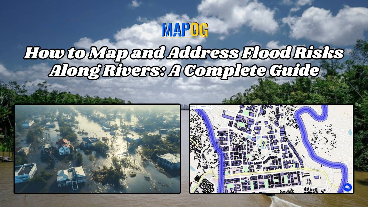
Welcome to MAPOG, where we address flood risks with innovative solutions along the Rivers. This example demonstrates how MAPOG‘s tools can map and analyze flood risks, providing valuable insights for strategic planning. Join us as we navigate through this use case, showcasing MAPOG‘s capabilities in mapping and addressing flood risks. Key Concept Within this key … Read more
Creating Maps: River-Dam Relationships MAPOG geospatial analysis, aiding hydroelectric power, agriculture, and urban planning.
Locate landfill sites-create two buffer zones-Style them with distinct color-plot recycle center near landfill sites.
Finding the best areas for organic farming is crucial for maximizing yield and ensuring sustainability. With MAPOG’s map analysis, you can easily identify suitable locations for organic farming. Our Buffer Tool helps pinpoint optimal zones by evaluating various environmental factors, ensuring your farm thrives. Explore how MAPOG can guide you to the perfect spot for … Read more