Use Case - Buffer Analysis

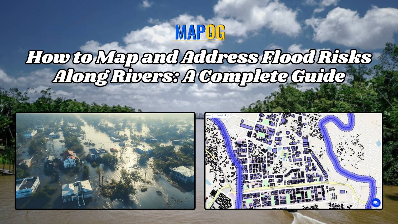
How to Map and Address Flood Risks Along Rivers: A Complete Guide

Welcome to MAPOG, where we address flood risks with innovative solutions along the Rivers. This example demonstrates how MAPOG‘s tools can map and analyze flood risks, providing valuable insights for strategic planning. Join us as we navigate through this use case, showcasing MAPOG‘s capabilities in mapping and addressing flood risks. Key Concept Within this key … Read more

Sustainable Site Selection for Organic Farming with Buffer Analysis

Sustainable Site Selection for Organic Farming with Buffer Analysis

Finding the best areas for organic farming is crucial for maximizing yield and ensuring sustainability. With MAPOG’s map analysis, you can easily identify suitable locations for organic farming.  Our Buffer Tool helps pinpoint optimal zones by evaluating various environmental factors, ensuring your farm thrives.  Explore how MAPOG can guide you to the perfect spot for … Read more

Mapping wildlife risks

Mapping Wildlife Risks: Identifying Vulnerable Settlements

As urban areas expand and encroach upon natural habitats, the potential for conflicts between humans and wildlife increases. Understanding and mitigating these risks is important for both human safety and wildlife conservation efforts. MAPOG serves as an invaluable tool in this attempt, enabling the identification and mapping of vulnerable settlements near forests or wildlife habitats. … Read more

How to Create a Map for Crime Tracking: Mapping CCTV Cameras

Serving as vigilant electronic eyes, CCTV systems are indispensable tools which capture crucial visual evidence in crime investigation. However, not all cameras are equally effective in aiding investigations. Identifying the right cameras, strategically placed in an area, can significantly enhance crime-solving capabilities. By employing MAPOG tools, law enforcement can efficiently identify CCTV cameras that are … Read more

Create a Map for Pipeline Impact Zones: A Step-by-Step Guide

In energy infrastructure management, ensuring the safety and integrity of pipeline networks is very important. The influence of pipelines extends far beyond their physical footprint, encompassing the communities, ecosystems, and infrastructure that lie in their vicinity. Understanding and mitigating the potential risks of pipeline activities necessitate a holistic approach. In this article, we delve into … Read more

Creating an Online Interactive Map for Residential Land Use and Buffer Analysis with Thematic Visualization

MAPOG uses geospatial intelligence to analyze Residential Land Use in Natural Reserves, enabling decision-makers to balance conservation and community needs. It helps identify sustainable development opportunities and informs regulatory frameworks, promoting responsible land management. Key Concepts to Identify Residential Land Use in Natural Reserves! The project’s output map visualizes residential land use in natural reserves, … Read more

mapping pollution impact areas near quarries quarries

Create Map for Pollution impact analysis around Quarries

Pollution sites consistently pose threat to human welfare, primarily by directly causing numerous health issues and by contaminating vital natural resources. In many regions the presence of quarries exacerbates this threat. For monitoring pollution impact analysis around quarries, the initial step is to identify the areas affected by quarries. And then assess the extent of … Read more

Mapping Petrol Pump Availability

Petrol Pump Accessibility: A Spatial Analysis Guide Using Buffer Zones

In the realm of ‘Petrol Pump Availability: Empowering Access’, MAPOG  stands as a powerful tool, offering insights that can redefine our understanding of spatial dynamics.  In a world constantly moving, access to petrol pumps is paramount. At MAPOG, we’re dedicated to providing a comprehensive solution for visualizing and analyzing Petrol Pump Accessibility: A Spatial Analysis. … Read more