Pollution regions

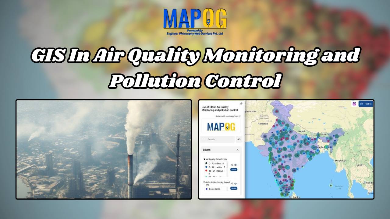
GIS In Air Quality Monitoring and Pollution Control

GIS plays a crucial role in air quality monitoring and pollution control. It maps sources, tracks emissions, and Identifies Hotspots for better decision-making. GIS supports in Air Quality mapping, Urban Planning, Evaluates Control Measures, and helps reduce key pollutants like PM, NOx, SO2, CO, O3, and VOCs through technology and regulations, promoting sustainability. Key Concept … Read more

Create a Map to Identify Pollution-Affected Regions

Create a Map to Identify Pollution-Affected Regions

Focusing on the task of identifying pollution affected regions, MAPOG’s Map Analysis helps recognize areas of environmental concern. As pollution remains a pressing issue, the article explores how this tool not only identifies problems but also facilitates informed mitigation measures. Join us on this exploration into the world of advanced mapping for a greener future. … Read more