Understanding where different borders meet on a map is essential for various fields like urban planning, environmental management, and political geography. Today, Creating Border Intersections on Maps: Provincial Boundaries, we’ll explore how to do this using MAPOG, a Geographic Information System (GIS) tool. We’ll break down the process into simple steps, discuss what we find, and explain why it’s important.
Key Concept: Creating Border Intersections on Maps
In simple terms, a ‘Border Intersection’ is where two or more borders come together on a map. It’s like where lines cross each other. This helps us see how different places connect. Alongside this guide, datasets will be provided for practical application. Additionally, articles like “Creating Travel Guides: Mapping with GIS Buffer Zones” and “Creating GIS Solutions for Urban Agriculture Map” offer deeper insights into GIS applications.
Creating Border Intersections on Maps using MAPOG’s Border Intersections is straightforward.
Here’s a step-by-step guide:
Step 1: Uploading Data:
Start by picking the map data for the country you’re interested in and choose the one showing provinces.
1.click on the “GIS Library”
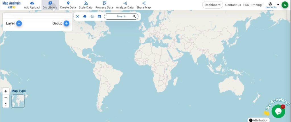
2.Search the country name
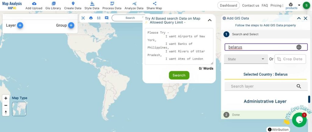
3.select the required layer.
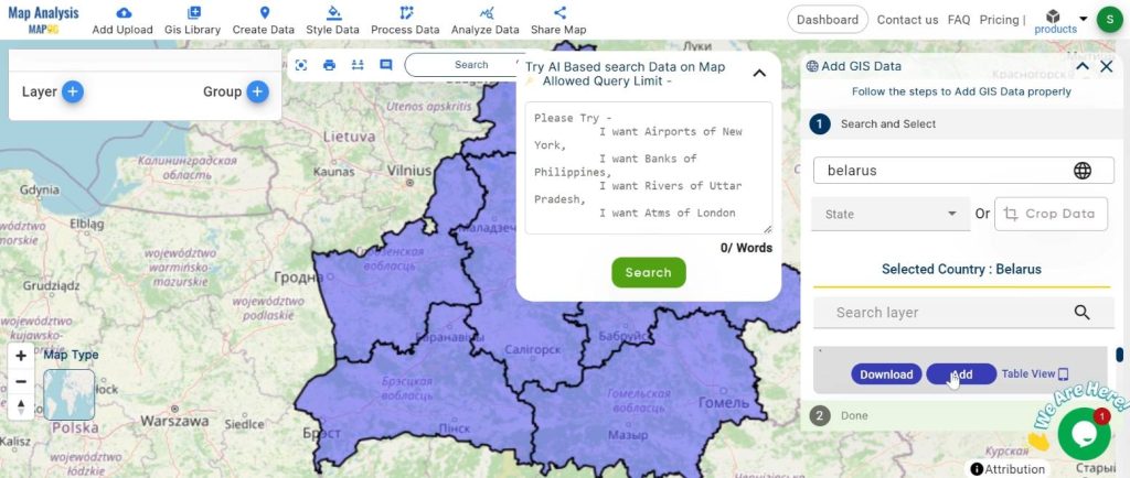
Step 2: Naming and Renaming:
Give your map a name
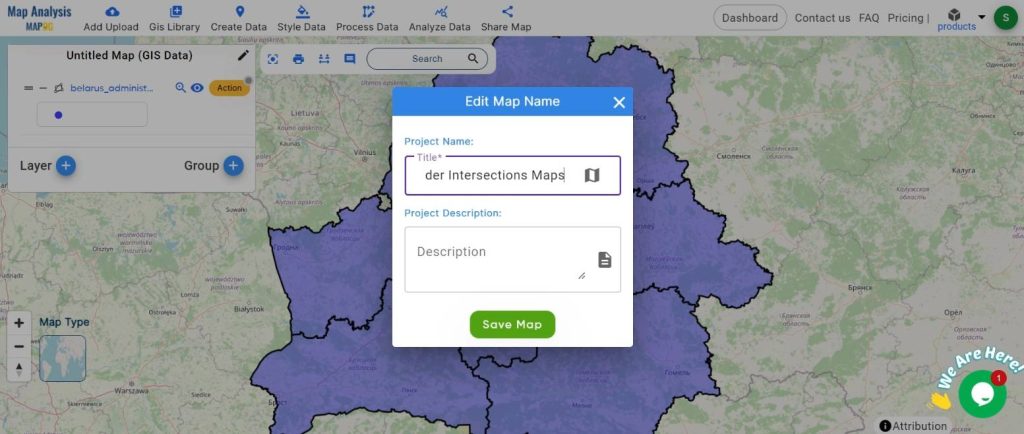
organize the layers so it’s easy to understand.
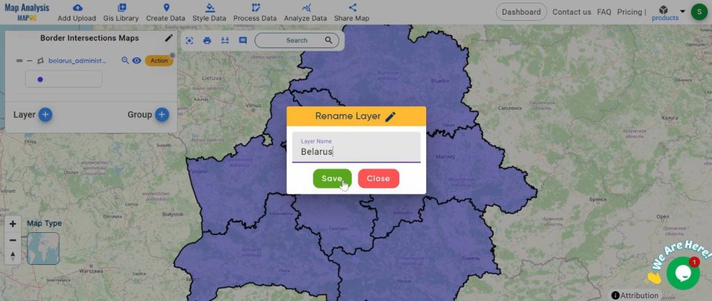
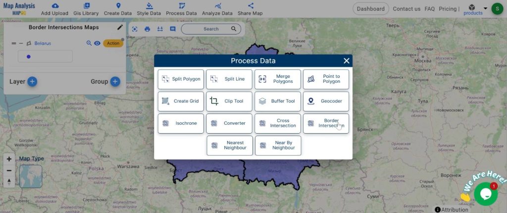
Step 3: Using the Tool:
finds border intersections.
1.Click on the “Process Data” button and choose “Border Intersection” Tool.
2.now set the layer and attributes. click on the “Submit” button
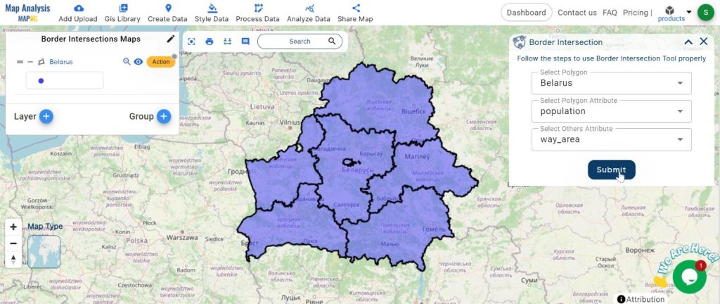
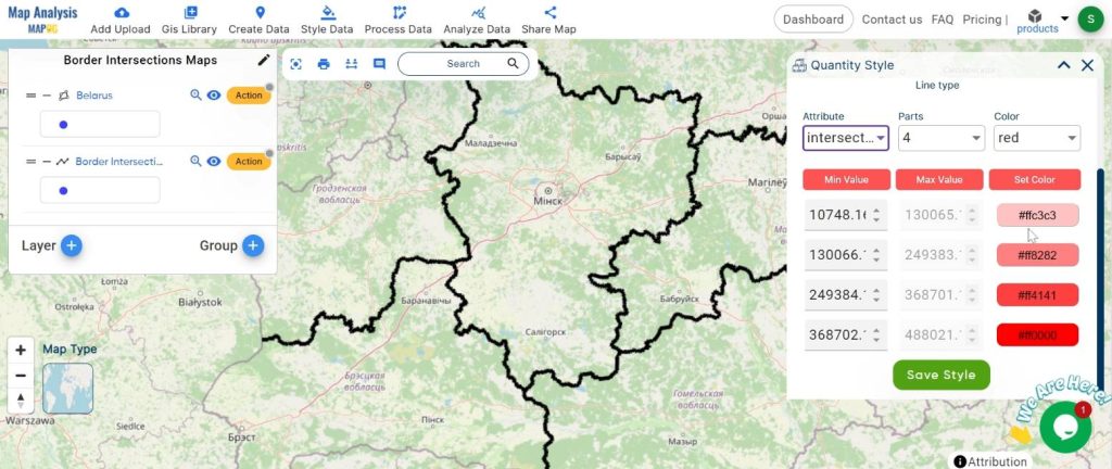
Step 4: Seeing the Results:
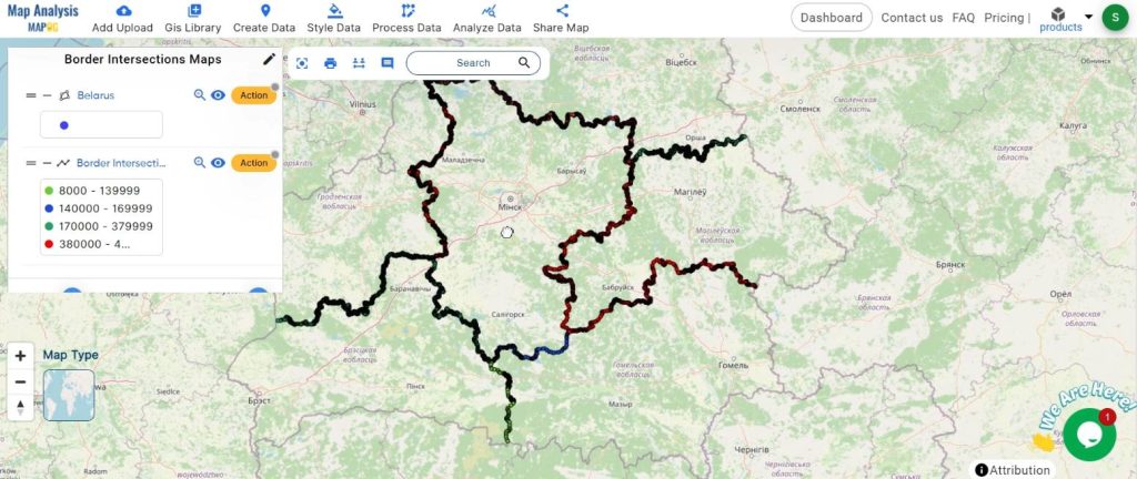
The tool will show where the provincial borders meet on the map.
1.Click on the “Active” button and select “Quantity Style”
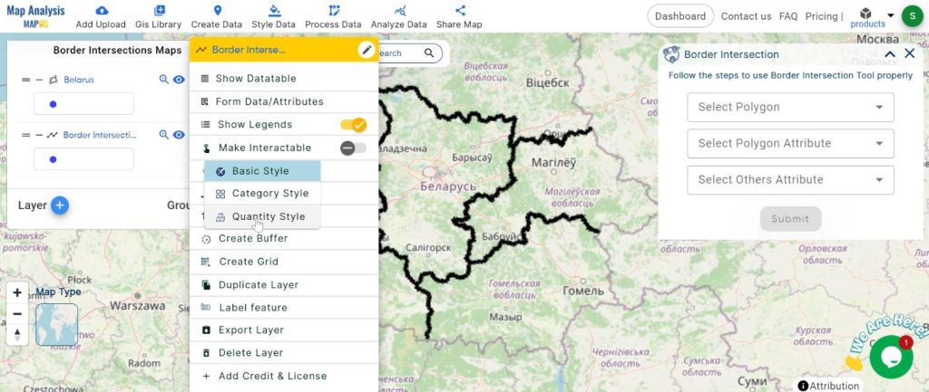
2.set the attribute and colour. click on the “Save Style” Button.
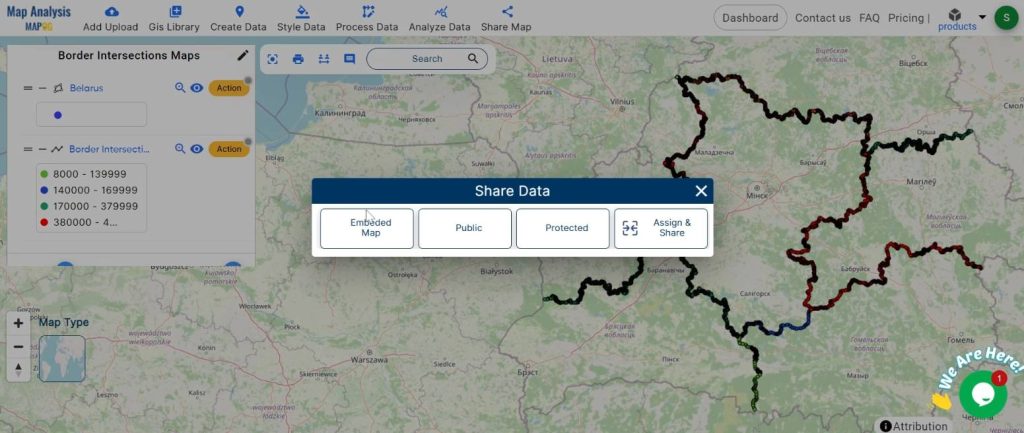
Step 5: Sharing:
Share the map with others so everyone can talk about what they see.
Major Findings:
By seeing where borders meet, we can understand how places connect. This helps us plan cities better, take care of the environment, and understand how politics work in different areas.
Domain and Industry Significance:
Knowing where borders meet is useful in many areas:
- City Planning: Helps decide where to build things like roads and parks.
- Environment: Shows how animals and plants move between areas.
- Politics: Helps understand how power and resources are shared among different places.
Mapping border intersections with MAPOG is a cool way to understand how different places fit together. It’s useful for lots of things like making cities better, protecting nature, and understanding how governments work. As technology gets better, tools like MAPOG become even more helpful for making smart decisions about our world.
Link of the Data:
Explore the data further through our GIS Data product, uncovering valuable information for in-depth analysis and understanding.