Curious about managing your farmland boundaries accurately?
With MAPOG Map Analysis, measuring the perimeter of your farmland is simple using the Measure Distance tool. This tool helps you define boundaries precisely and plan your agricultural activities efficiently.
KEY CONCEPTS
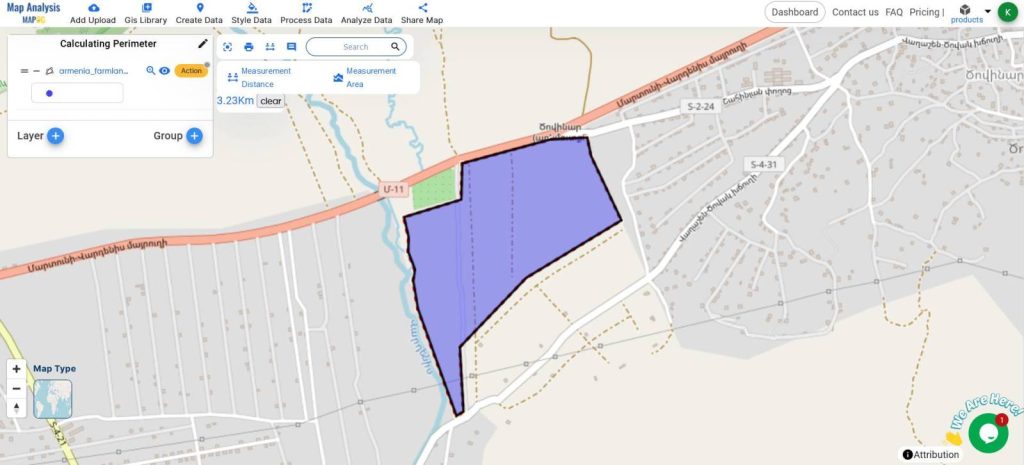
Our goal is to use the Measurement tools of MAPOG Map Analysis to calculate the perimeter of the Farmland Polygon
Learn more about Mapping Farmland here Mapping Zones With Specific Farming Fields : Planning Sustainable Irrigation
Steps for Calculating the Perimeter using the Measurement Tools
Below are the steps to follow
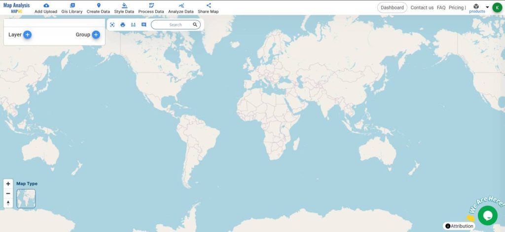
- Open Map Analysis
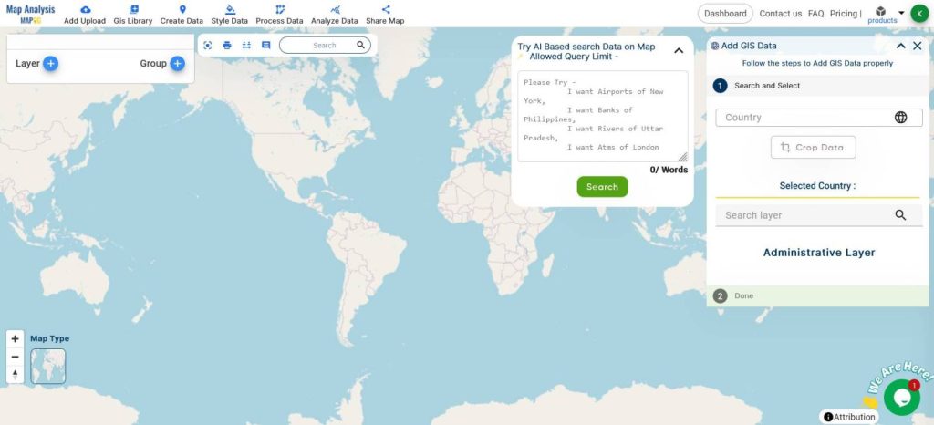
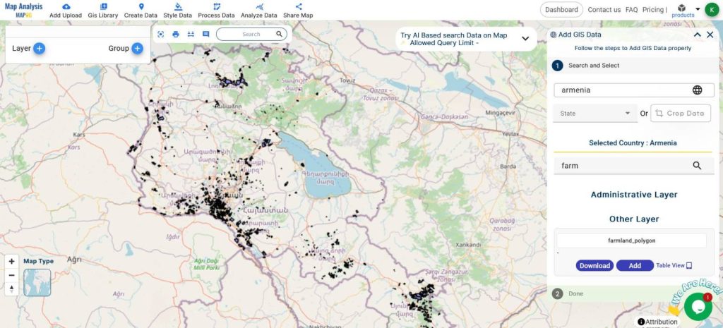
- Click on GIS Libraries, Add the Farmland Polygons
- Crop the Data while adding for a specific area
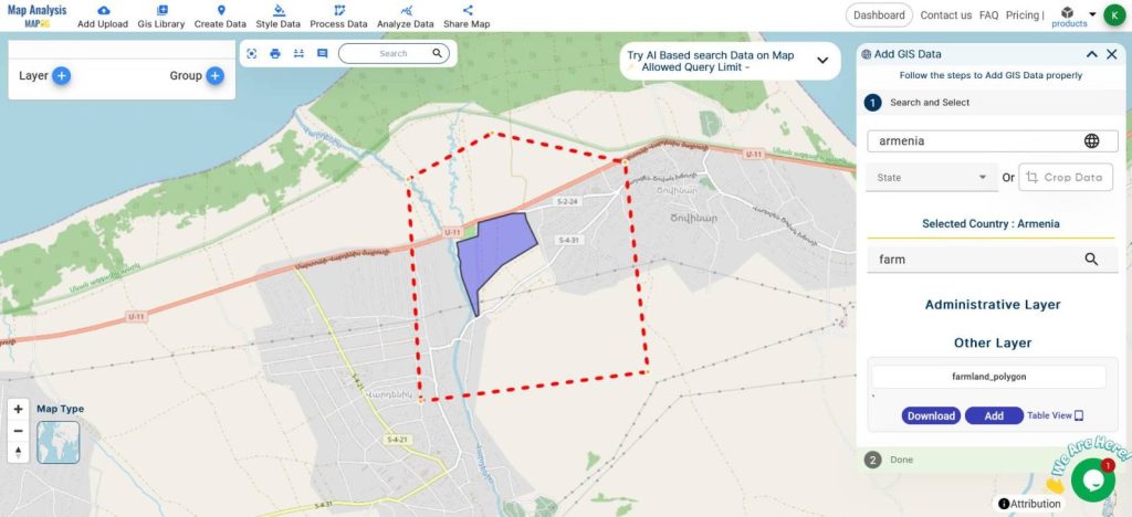
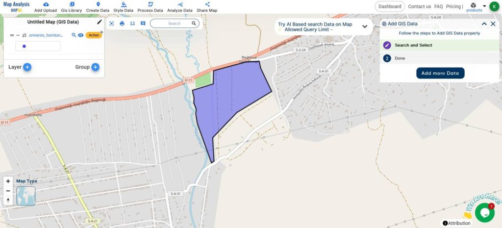
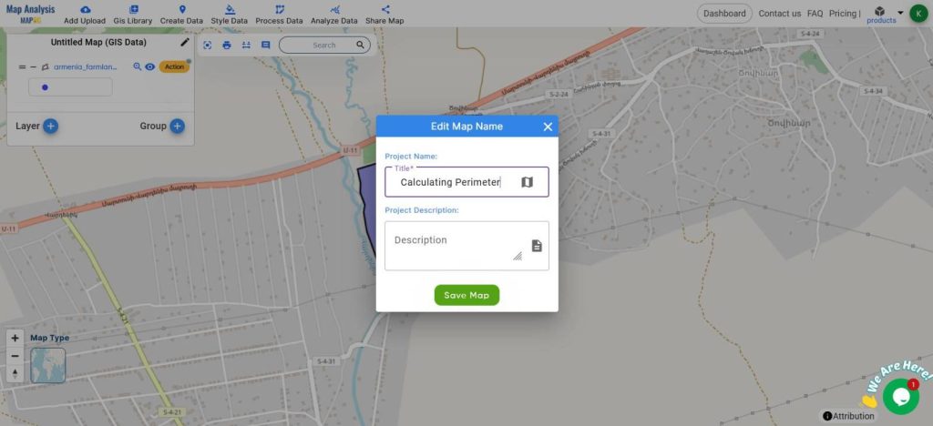
- Rename the Map from the edit icon on the top of the layers panel
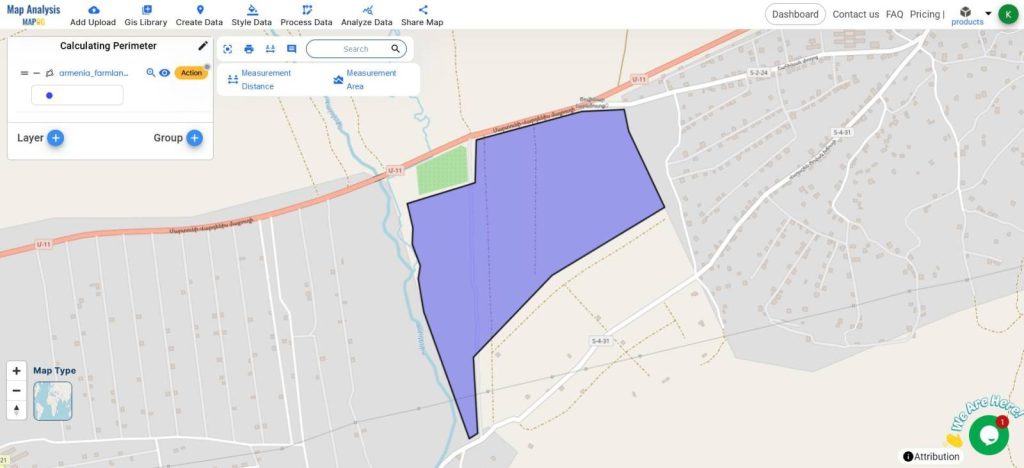
- Have the target area in the Field of view
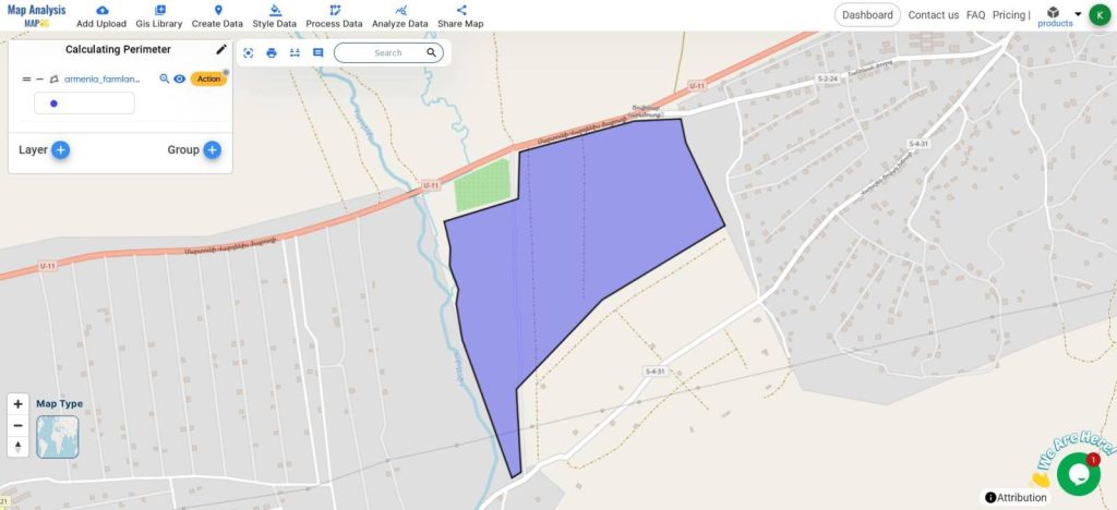
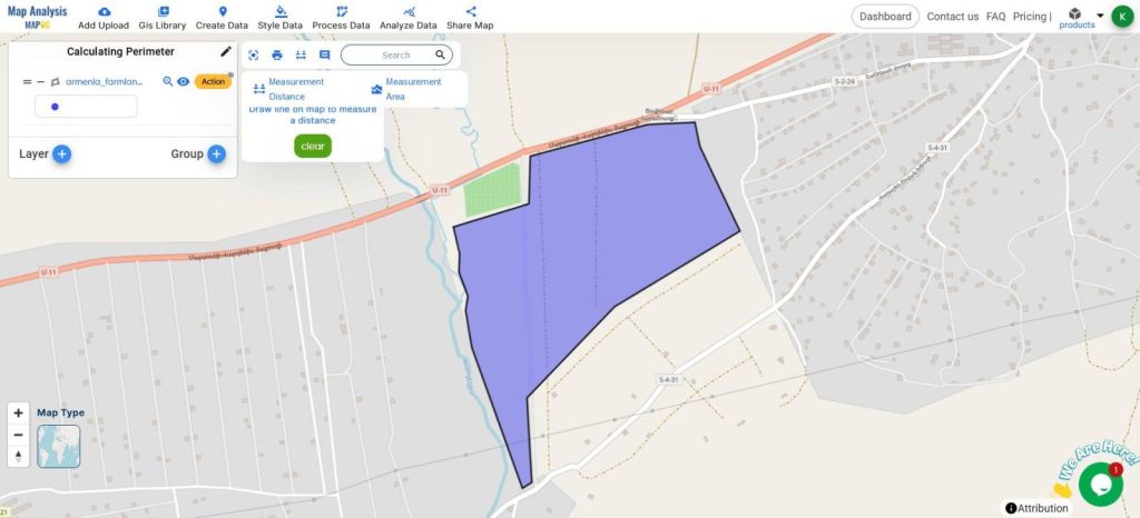
- Select the Measurement Distance from the Measurement tools near the Search Bar
- Draw along the boundary of the polygon
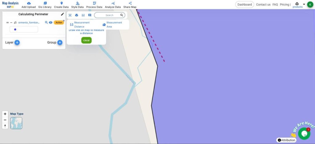
- Double-click the last point, and make sure to overlap it with the first point so that it forms a closed boundary.
- The Perimeter will be measured and displayed in kilometers.
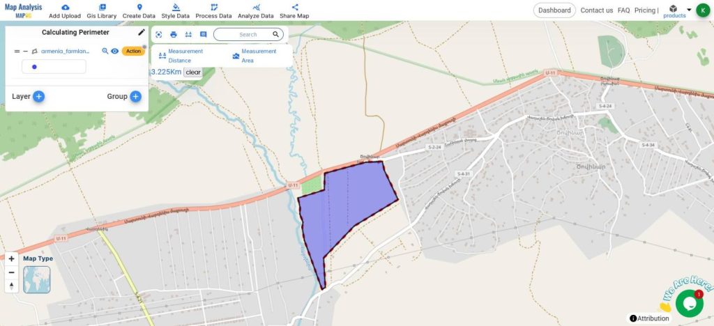
This is how the Measurement Distance tool can be used in MAPOG Map Analysis for measuring the perimeter of the land area.
Measuring the perimeter of farmland using the GIS measure distance tool ensures accurate boundary management, efficient resource allocation, and precise planning for agricultural activities.
It aids in regulatory compliance, cost estimation, and dispute resolution, enhancing overall farm management.
MAJOR FINDINGS
- Precise Boundary Definition: The tool provides accurate farmland boundaries, crucial for property management and resolving disputes.
- Efficient Resource Allocation: Exact perimeter measurements help in better planning and allocation of resources like fencing and irrigation.
- Enhanced Planning and Compliance: The tool aids in agricultural planning and meeting regulatory requirements with precise land area measurements.
BENEFICIAL DOMAIN: Land Management and Regulatory Compliance and Cost Efficiency
- Land Management and Planning: Precise boundary measurements improve property management, resource allocation, and agricultural planning.
- Regulatory Compliance and Cost Efficiency: Accurate perimeter data ensures compliance with regulations and optimizes costs for infrastructure and resource deployment.
For any inquiries or support needs, feel free to contact us at support@mapog.com.
CONCLUSION
By using MAPOG Map Analysis with the Measure Distance tool significantly enhances farmland management.
This analysis provides precise boundary definitions, efficient resource allocation, and improved planning and regulatory compliance.
Embracing these tools helps optimize agricultural practices and ensures better land management outcomes.
VIEW OUR PREVIOUS BLOGS
Create a Map for Pipeline Impact Zones: A Step-by-Step Guide