Embark on a journey through the heart of our forests, where every tree tells a story and every river flows with purpose. “Forest Mapping Solutions”, In this adventure, we’ll delve into the world of mapping technology, where data and imagination intersect to reveal the secrets of our woodland landscapes. Join us as we navigate through the dense foliage of challenges and discoveries, guided by the power of maps to illuminate pathways towards sustainable solutions.
Key Concept for Forest Solutions
In the world of forests, maps are like magical guides. They show us where problems are hiding and how we can make things better. By using these maps, we can understand our forests more and find ways to keep them safe and healthy. Alongside this guide, datasets will be provided for practical application. Additionally, articles like “Creating Travel Guides: Mapping with GIS Buffer Zones” and “Creating GIS Solutions for Urban Agriculture Map” offer deeper insights into GIS applications.
Story By MAPOG, a simple tool designed to simplify the creation and interpretation of forest maps.
Embarking on a Forest Solutions journey involves a methodical approach, empowering conservationists to effectively tackle environmental challenges and safeguard our woodlands. Let’s delve into the step-by-step process:
Step 1: Crafting the Map.
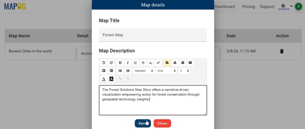
1.Click on the “Create” button
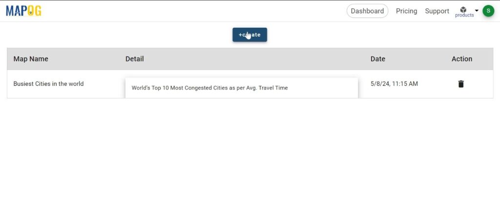
2.Set the map name and description.
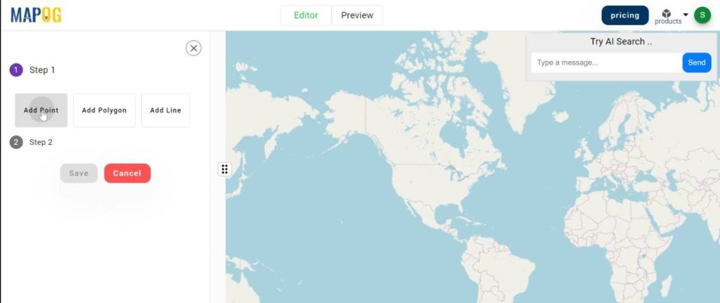
Step 2: Pinpointing the locations.
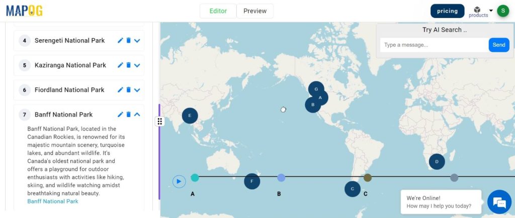
1.click on the “Create story” button and choose “Add Point”.
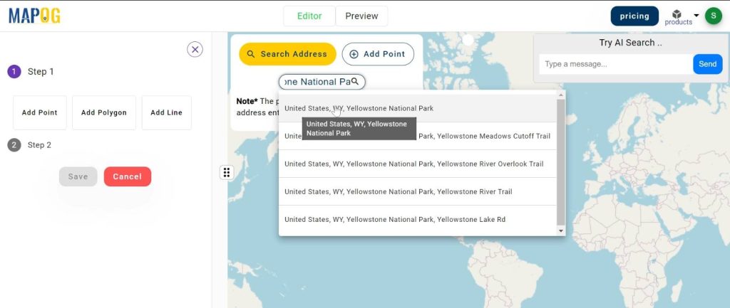
2.now search the address and plot the point. Click on the save button.
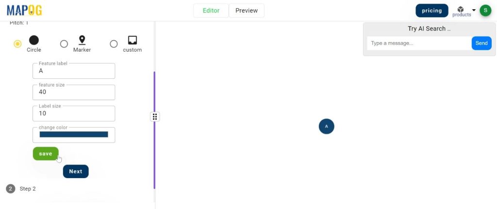
3.here, you can customise the point.
The 3 options are Circle, Marker and custom. Choose any of them and set the level feature and colour. click on the “save” button.
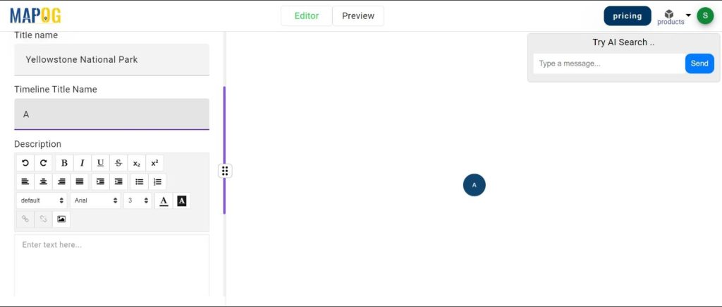
4. Next, add the point title. Also you can add the time title name.
Add descriptions and also you can add the image for the point.
6.click on the save option.
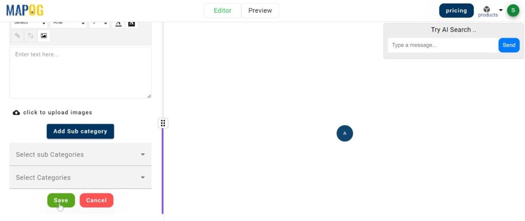
Similarly add the other points.
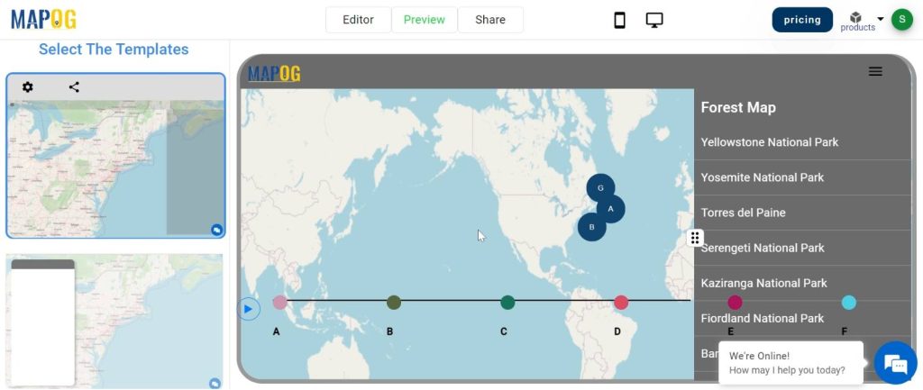
Step 3: Previewing the Map and Sharing Insights
Preview the map to visualise the details then share it with others to explore.
Major Findings:
Our journey through forest solutions has shown us important things about our woodlands. We found places where trees are being cut down too much and where animals are losing their homes. But we also discovered ways we can help, like protecting these areas and planting more trees. This helps us make our forests healthier and safer for animals and people.
Domain and Industry:
Many groups and businesses use forest solutions to help protect our woodlands. Forest rangers, environmental organizations, and even companies that work with forests all use these solutions.
In conclusion, by using mapping technology and data analysis, we can protect our forests for the future. Let’s keep working together to ensure these vital ecosystems thrive for generations to come. Thank you for joining us on this journey.