Agriculture

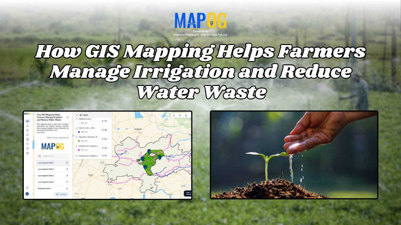
How GIS Mapping Helps Farmers Manage Irrigation and Reduce Water Waste

GIS in irrigation has become a cornerstone of sustainable agriculture, particularly in the face of increasing water scarcity and climate variability. In this context, one of the most powerful tools that enables farmers and planners to optimize water resources. By combining spatial data with advanced mapping techniques, GIS not only helps farmers manage irrigation more … Read more
Empowering Sustainable Agriculture: A Guide to Precision Soil Mapping and Labeling with GIS

Empowering Sustainable Agriculture: A Guide to Precision Soil Mapping and Labeling with GIS

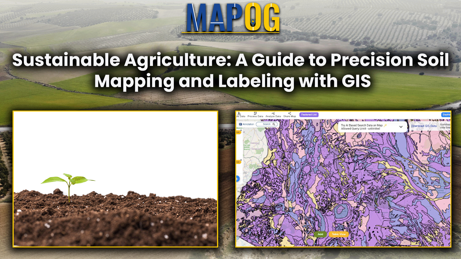
In the frontier of precision agriculture, MAPOG’s Map Analysis tool utilizes cutting-edge technologies to reshape farming practices. Delve into the intricate world beneath the surface, meticulously mapping diverse soil resources using the powerful capabilities of MAPOG. Let the precision of MAPOG guide you through a landscape where informed decision-making harmonizes seamlessly with sustainable farming practices. … Read more