Buffer Analysis

Create Map for Coastal Erosion Assessment: High-Risk Zones and Mitigation Strategies

Coastal erosion poses a significant threat to coastal regions, jeopardizing not only the natural beauty of beaches but also the structural integrity of sea walls essential for coastal protection. In response to this challenge, MAPOG undertakes a comprehensive mapping initiative for coastal erosion assessment and mitigation. This article explores how MAPOG delineates erosion-prone areas along … Read more

Mapping wildlife risks

Mapping Wildlife Risks: Identifying Vulnerable Settlements

As urban areas expand and encroach upon natural habitats, the potential for conflicts between humans and wildlife increases. Understanding and mitigating these risks is important for both human safety and wildlife conservation efforts. MAPOG serves as an invaluable tool in this attempt, enabling the identification and mapping of vulnerable settlements near forests or wildlife habitats. … Read more

How to Create a Map for Crime Tracking: Mapping CCTV Cameras

Serving as vigilant electronic eyes, CCTV systems are indispensable tools which capture crucial visual evidence in crime investigation. However, not all cameras are equally effective in aiding investigations. Identifying the right cameras, strategically placed in an area, can significantly enhance crime-solving capabilities. By employing MAPOG tools, law enforcement can efficiently identify CCTV cameras that are … Read more

Fire Station Reachability Analysis: A Mapping Approach

Fire Station Reachability Analysis: A Mapping Approach

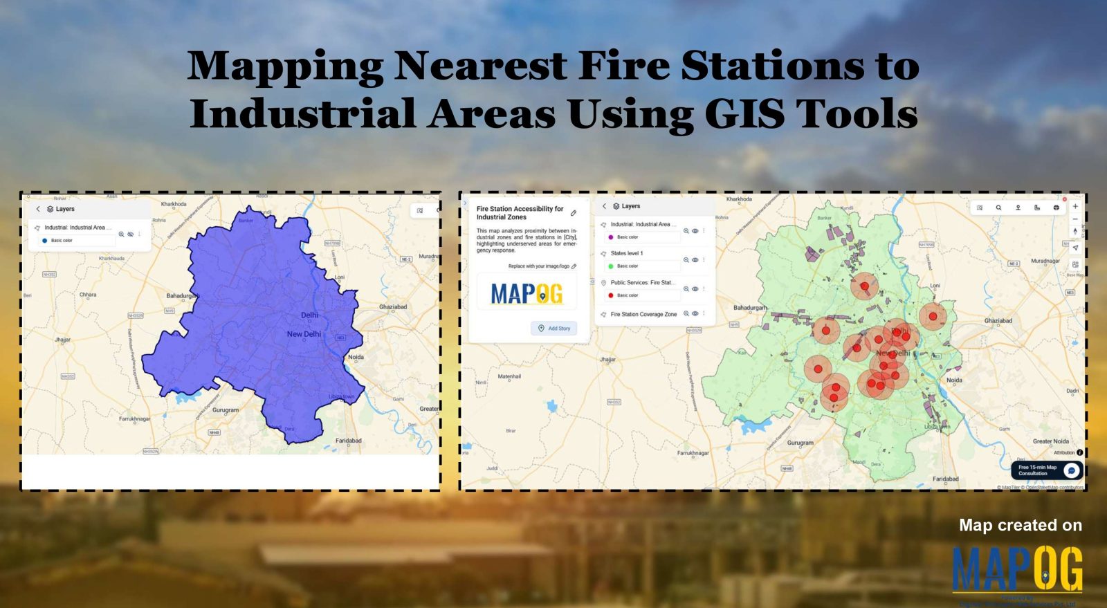
In emergency management, the strategic placement of fire stations plays a critical role in ensuring the safety and well-being of communities. Rapid response times can mean the difference between containment and devastation during a fire emergency. MAPOG offers powerful tools for evaluating potential fire station locations by analysing accessibility to road and travel time to … Read more