#conservation

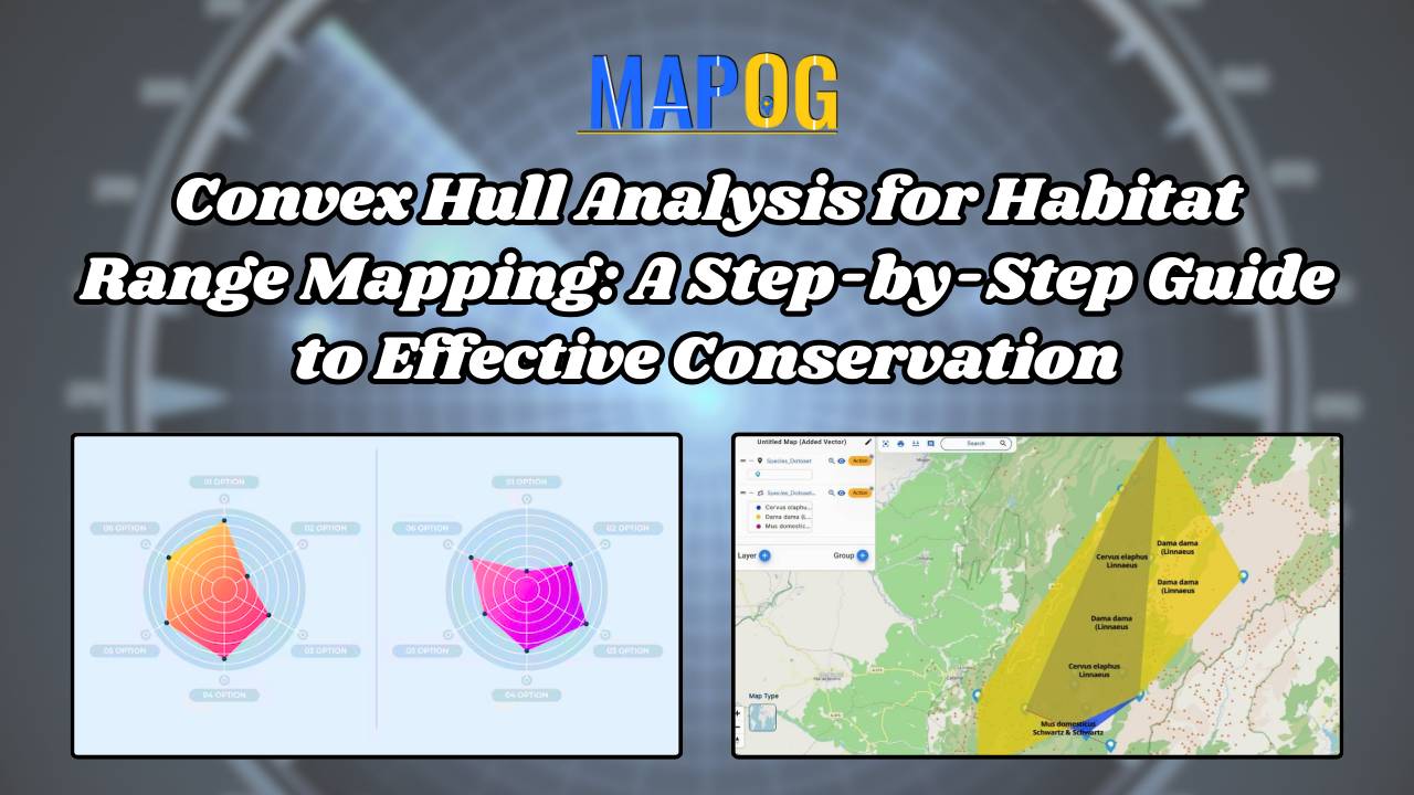
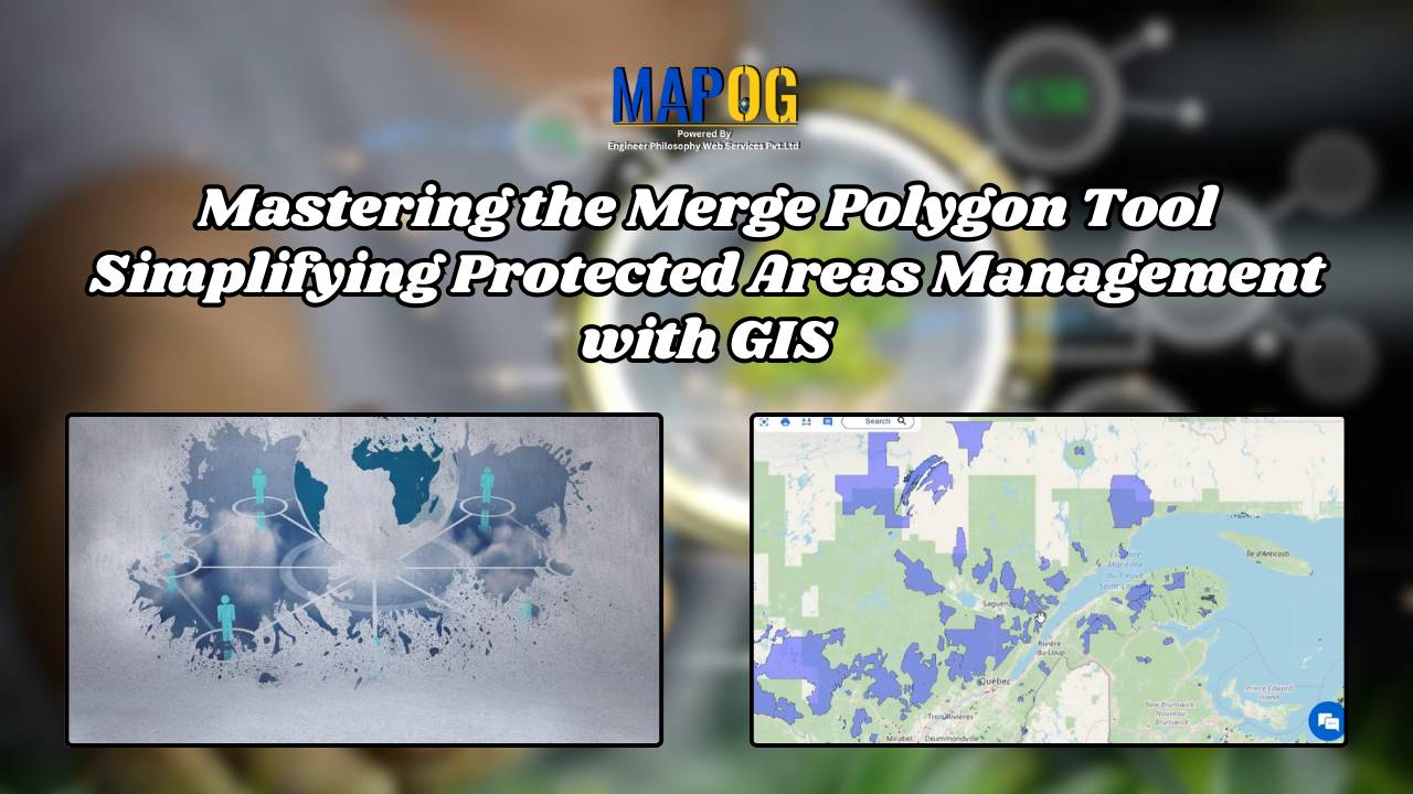
Mastering the Merge Polygon Tool: Simplifying Protected Areas Management with GIS

What is Merge Polygon tool? The Merge Polygon tool is a functionality that enables the combination or consolidation of adjacent or overlapping polygons into a single, cohesive polygonal feature. This tool is essential for spatial data processing and analysis, allowing users to simplify complex datasets, resolve geometric inconsistencies, and streamline data representation. This article delves … Read more

Creating an Online Interactive Map for Residential Land Use and Buffer Analysis with Thematic Visualization

MAPOG uses geospatial intelligence to analyze Residential Land Use in Natural Reserves, enabling decision-makers to balance conservation and community needs. It helps identify sustainable development opportunities and informs regulatory frameworks, promoting responsible land management. Key Concepts to Identify Residential Land Use in Natural Reserves! The project’s output map visualizes residential land use in natural reserves, … Read more