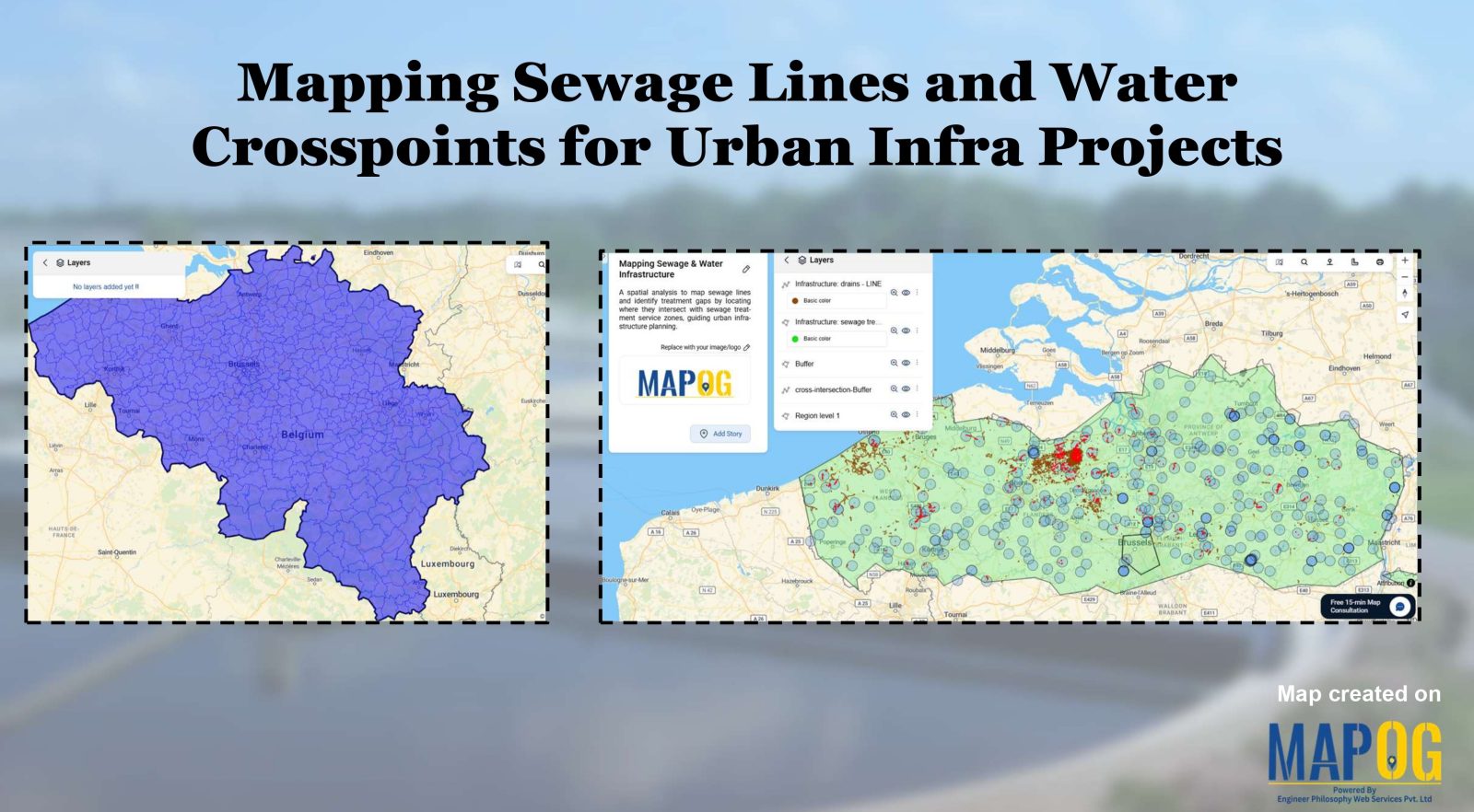
Create Map of Sewage Lines and Water Cross-points for Urban Infra Projects
In urban planning, mapping sewage lines and water isn’t just about locating pipelines—it’s about understanding how systems connect and where they fall short Therefore, as cities expand, planners need clear ways to visualize the relationship between sewage networks and treatment facilities. As a result, with MAPOG, spatial data becomes actionable insight. Mapping sewage and drainage … Read more
