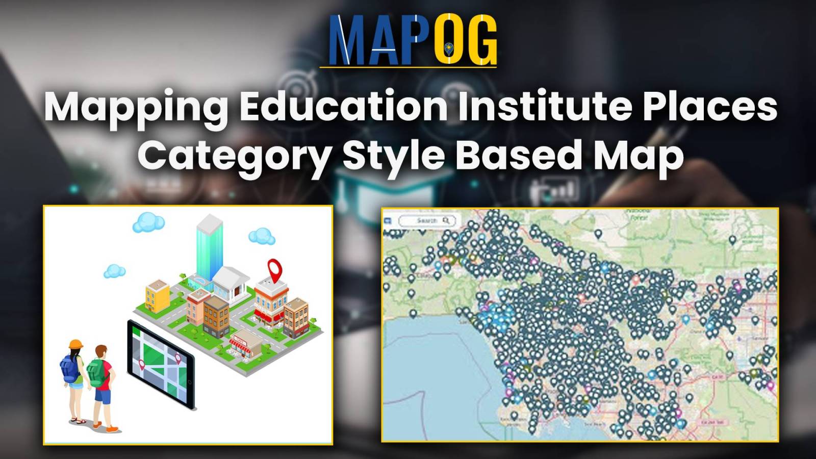
Create map online | Mapping Education Institute Places | Category Style based on type
Category style, a fundamental feature within Geographic Information Systems (GIS), serves as a powerful tool for visually organizing data categories. By assigning distinct visual attributes such as colors, shapes, or icons to different data categories, category style enhances the clarity and interpretability of spatial data representations. In this article, we delve into the application of … Read more
