Distance calculation

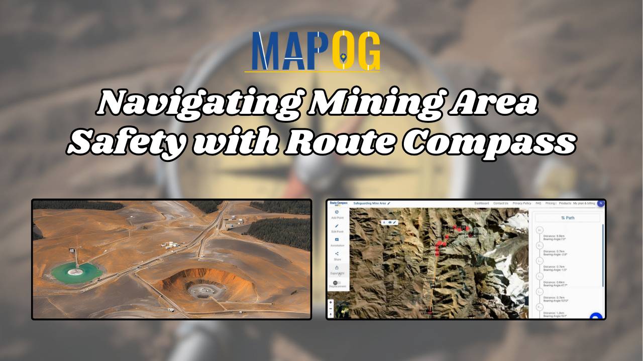
Navigating Mining Area Safety with Route Compass

Navigating Mining Area Safety with Route Compass

MAPOG‘S Navigating Mining Area Safety with Route Compass utilizes virtual reality technology to ensure site safety in traditional mining operations areas. This innovative technology creates an artificial environment, safeguarding people and equipment, and facilitating regulation observance. Immerse yourself in the dynamic landscapes of urban planning through “GIS Analysis in Urban Planning: Reshaping Transportation Future Insights … Read more

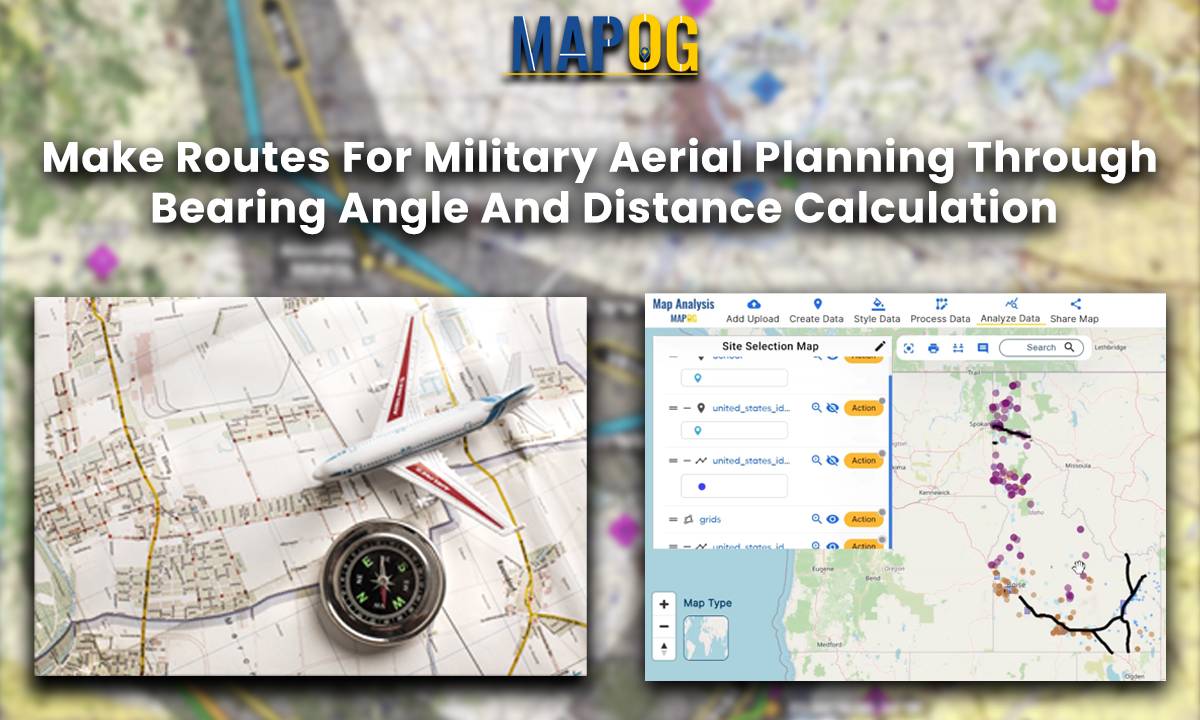
Make Routes for Military Aerial Planning - Through Bearing angle and Distance calculation

Make Routes for Military Aerial Planning- Through Bearing angle and Distance calculation – Online Route Compass

Introduction In this military aerial route planning analysis, we employ the MAPOG route compass to navigate the strategic journey from one  Air Force Station to another Air Base. This tactical approach ensures efficient and effective planning for aerial movements in the specified region. Key Concept The key concept underlying this military aerial route planning analysis … Read more