Environmental Impact Assessment

create a map to show annual rainfall distribution

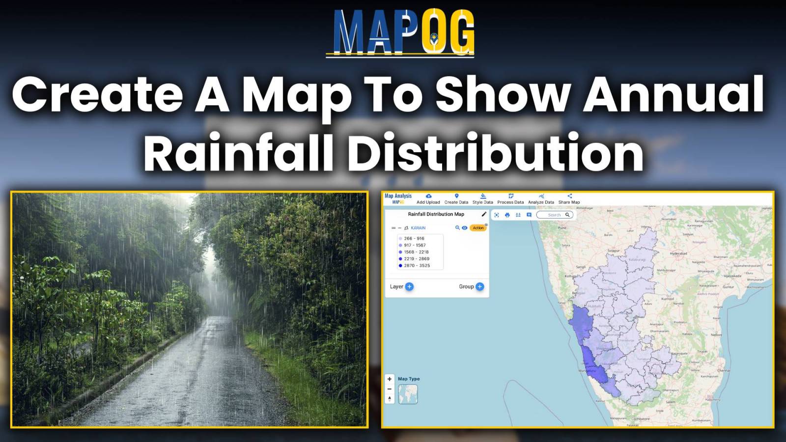
Create a Map to Show Annual Rainfall Distribution

Embark on a journey through the intricate world of mapping annual rainfall distribution, where each droplet paints a picture of climate variation and geographic uniqueness. Leveraging MAPOG’s Map Analysis tools, we unravel the complexities of precipitation patterns with precision and clarity. Join us as we navigate the art and science of visualizing rainfall distribution, offering … Read more
Revolutionizing EIAs: The Role of GIS Maps, Bearing Angle, Route Compass, and Distance in Civil Engineering

Explore the intersection of cutting-edge technology and environmental responsibility in civil engineering. This article focuses on Environmental Impact Assessments (EIAs), emphasizing the role of the MAPOG Route Compass in precise spatial analysis. Discover how this innovative tool revolutionizes decision-making, shaping a future of conscientious engineering practices. Now we are on Google Play store also. Below … Read more

Create a Map to Identify Pollution-Affected Regions

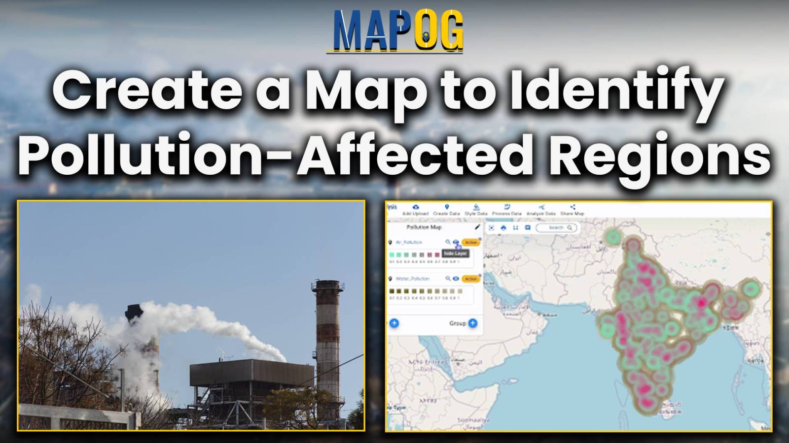
Create a Map to Identify Pollution-Affected Regions

Focusing on the task of identifying pollution affected regions, MAPOG’s Map Analysis helps recognize areas of environmental concern. As pollution remains a pressing issue, the article explores how this tool not only identifies problems but also facilitates informed mitigation measures. Join us on this exploration into the world of advanced mapping for a greener future. … Read more