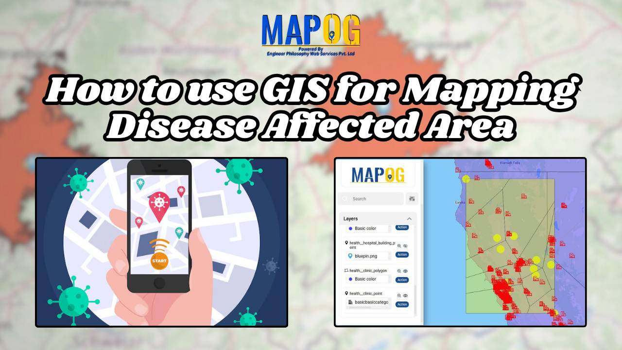
How to use GIS for Mapping Disease Affected Area
Geographic Information System is an emerging field that combines spatial analysis, statistical modeling and data visualization. We can create maps by pinpointing the location of disease outbreak by using a “point to polygon tool” and help us lineate the affected area smoothly and effortlessly. Key concept Analysis of disease affected areas by using point to … Read more