Mapping Busiest Cities: A Visual Analysis
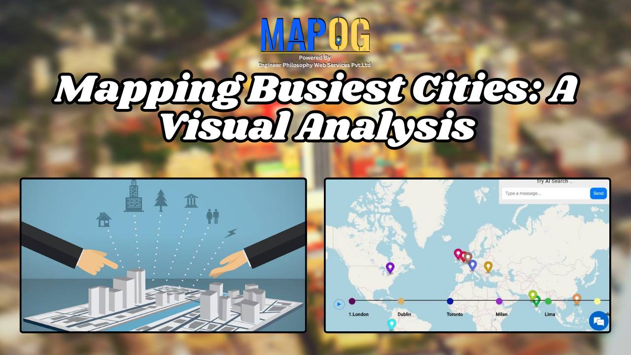
This analysis yields insights into urban trends, spatial patterns, infrastructure needs, land use planning, equity, sustainability, and resource allocation.
This analysis yields insights into urban trends, spatial patterns, infrastructure needs, land use planning, equity, sustainability, and resource allocation.
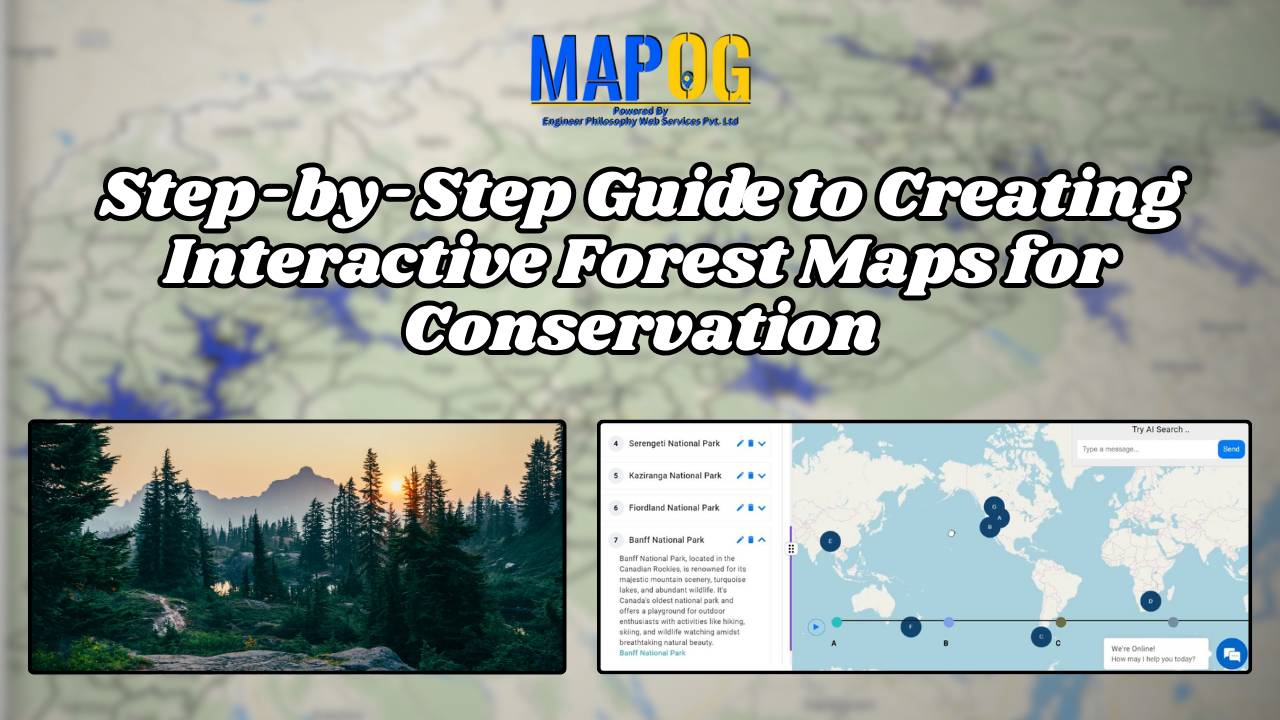
Analysis reveals deforestation hotspots, habitat loss trends, species impacts, and opportunities for conservation in national forests.
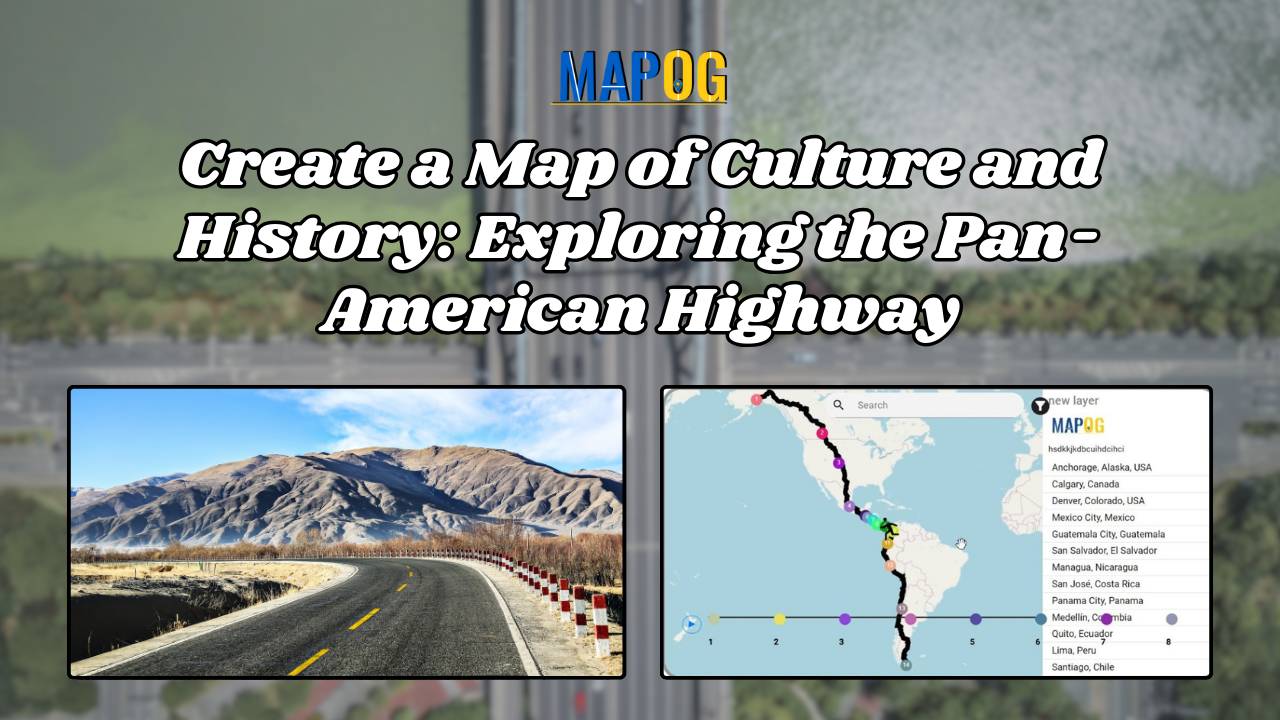
The Pan-American Highway, spanning from Alaska to Argentina, is the world’s longest road, linking 14 countries and numerous cities across North, Central, and South America. Mapping Culture and Historical Perspectives along the Pan-American Highway, This iconic route is not just a transportation corridor but a cultural and historical tapestry that weaves through the diverse landscapes … Read more
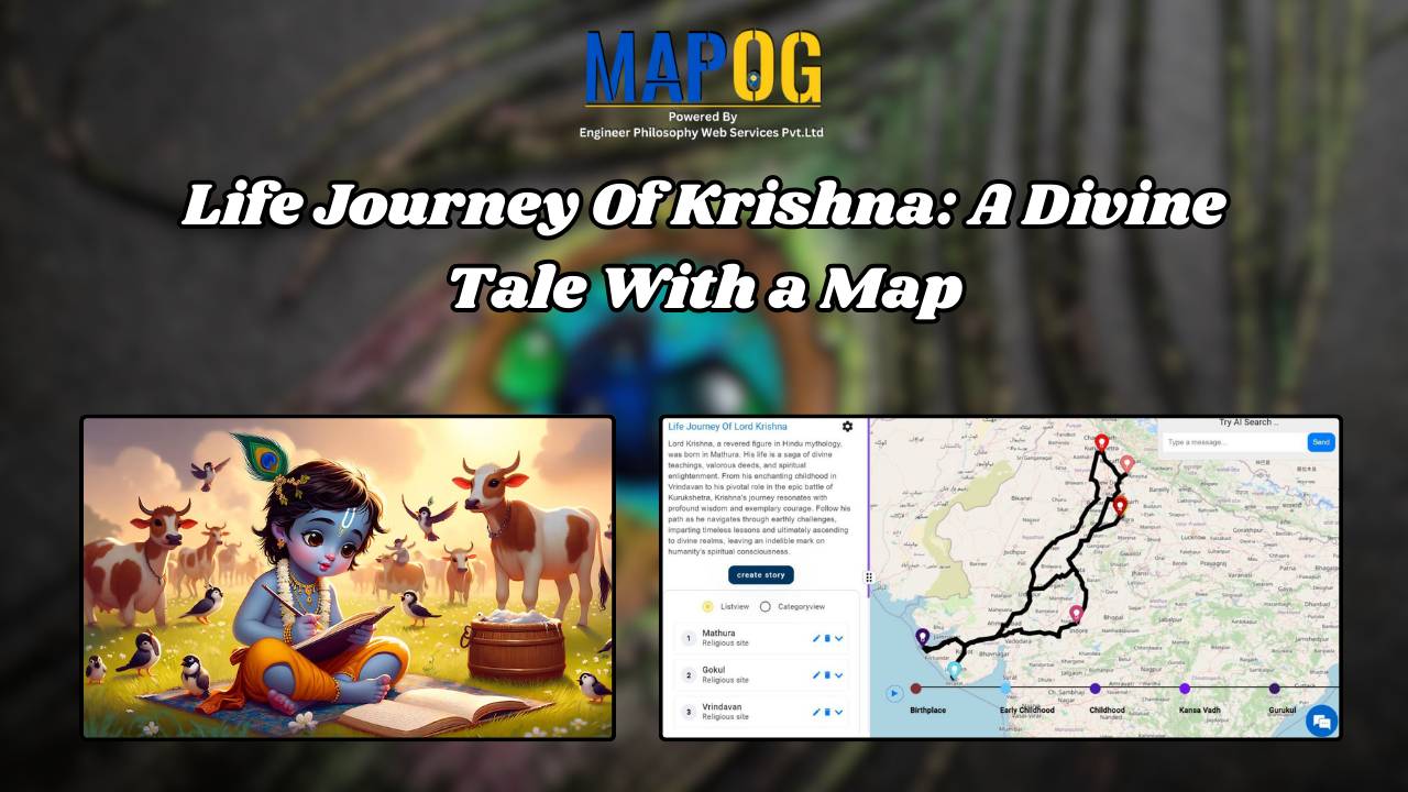
Create Story with Map – Display the Life journey of Lord Krishna through Map – very easy steps to follow – Put point feature – upload picture for every point