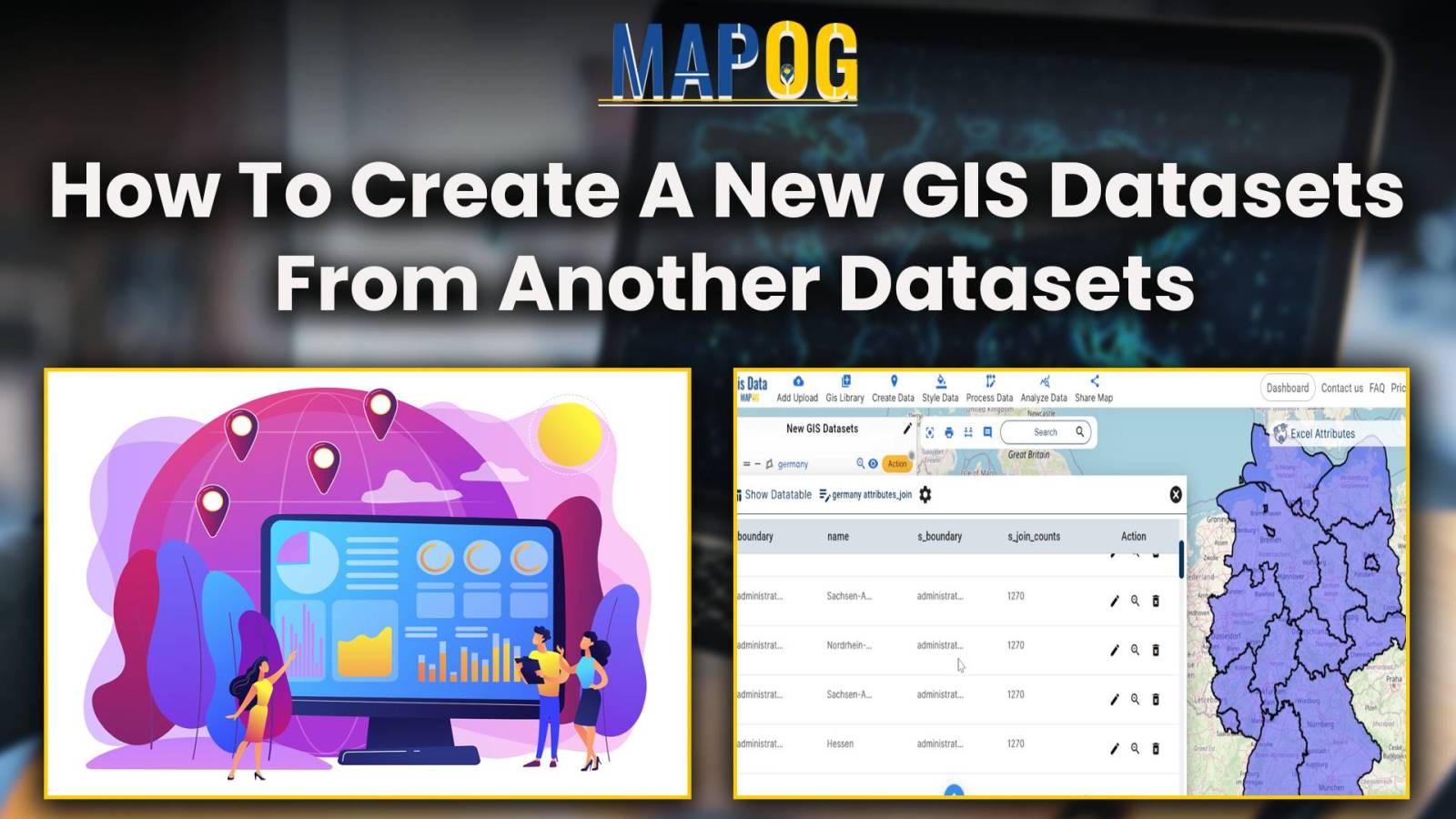
Joining data to GeoJSON File
Attribute Joins enrich spatial analysis, revealing insights, informing decisions, and guiding actions across diverse domains for a sustainable future.
In the present scenario of data-driven decision-making, understanding population demographics is paramount across various domains. One tool that stands out in this regard is the Excel attribute tool of MAPOG GIS Platform. This tool enables users to seamlessly integrate Excel population data with spatial data, providing valuable insights into demographic trends. The importance of this … Read more
This analysis reveals spatial patterns, distributions, and relationships, understanding land use, resource allocation, and urban development.
Pollution sites consistently pose threat to human welfare, primarily by directly causing numerous health issues and by contaminating vital natural resources. In many regions the presence of quarries exacerbates this threat. For monitoring pollution impact analysis around quarries, the initial step is to identify the areas affected by quarries. And then assess the extent of … Read more
Focusing on the task of identifying pollution affected regions, MAPOG’s Map Analysis helps recognize areas of environmental concern. As pollution remains a pressing issue, the article explores how this tool not only identifies problems but also facilitates informed mitigation measures. Join us on this exploration into the world of advanced mapping for a greener future. … Read more
Navigating the complexities of industrial land use requires a nuanced approach. MAPOG Map Analysis, with its GRID tool, revolutionizes this process, offering a streamlined solution for optimized zoning and development. In this article, we explore how MAPOG empowers decision-makers to balance economic growth with environmental sustainability in industrial areas, setting the stage for smarter urban … Read more
In this article, we delve into the critical intersection of geographic data and financial accessibility. Leveraging the powerful capabilities of MAPOG Map Analysis, we explore how spatial join analysis unveils invaluable insights into the distribution of ATM points within district boundaries. Join us as we navigate through the process of optimizing ATM placement to enhance … Read more
Biosphere reserves, designated areas crucial for conserving biodiversity, represent nature’s treasures unveiled. In our exploration, we delve into the significance of these pristine sanctuaries. Join us as we unveil the wonders of creating a Biosphere Reserves Map: Iconic Fauna Representation with GIS, and their contribution to our planet’s ecological well-being with MAPOG. Key concept for … Read more
Category style, a fundamental feature within Geographic Information Systems (GIS), serves as a powerful tool for visually organizing data categories. By assigning distinct visual attributes such as colors, shapes, or icons to different data categories, category style enhances the clarity and interpretability of spatial data representations. In this article, we delve into the application of … Read more
Quantity Style mapping: identifies renewable energy hotspots, highlights land use challenges, and uncovers opportunities for expansion in just one tool.