Urban Planning Tools

GIS Tools for urban planning

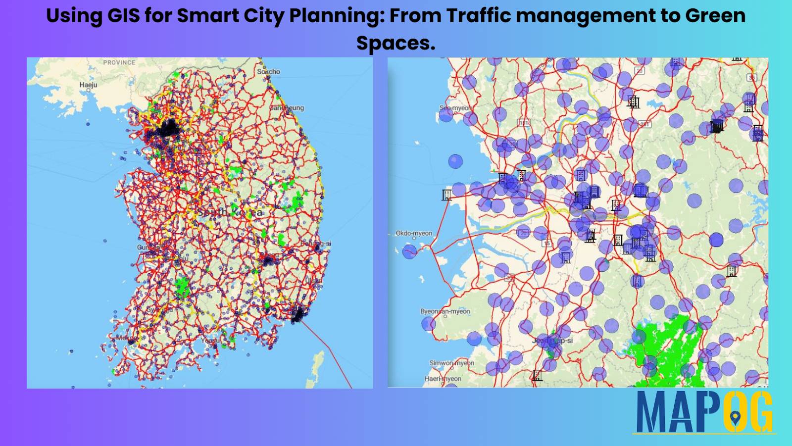
Using GIS for Smart City Planning: From Traffic Management to Green Spaces

In today’s rapidly evolving urban landscapes, GIS for Smart City Planning plays a crucial role in building efficient, livable, and sustainable environments. By leveraging GIS in urban planning, city authorities can effectively manage traffic congestion, design accessible green spaces, and streamline infrastructure development. Geographic Information Systems empower planners with data-driven insights, helping them transform challenges … Read more
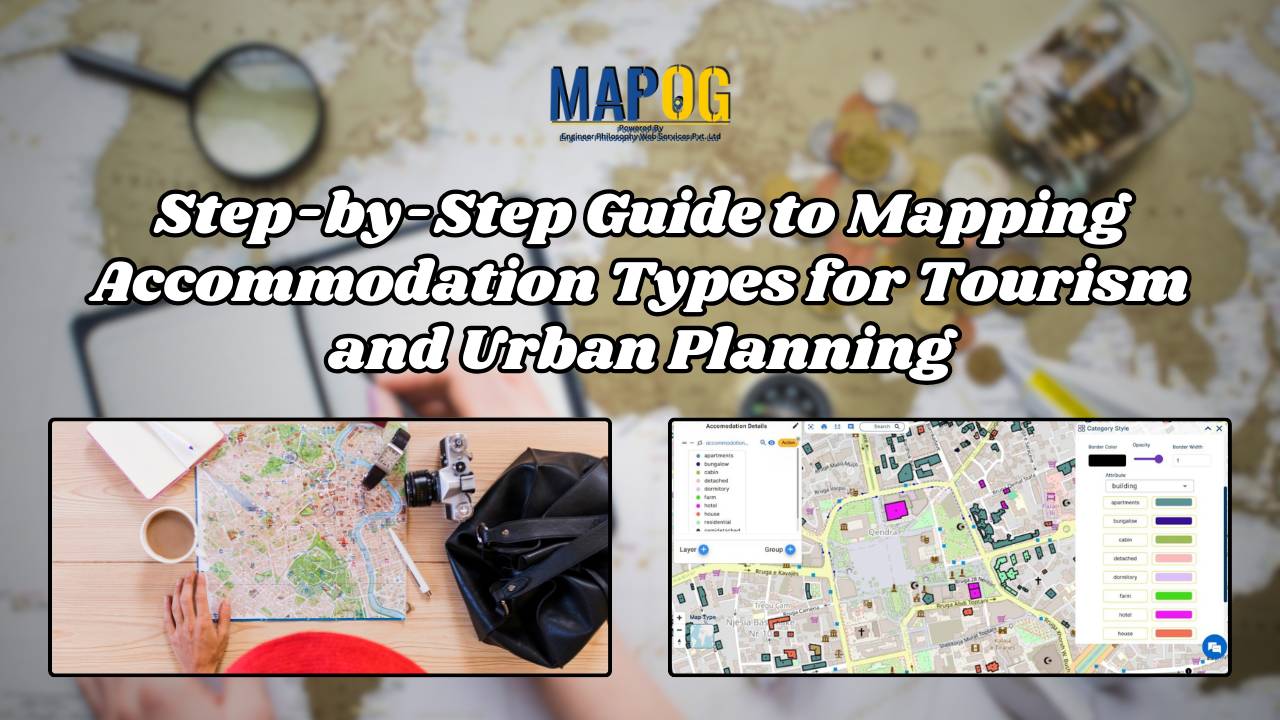
Step-by-Step Guide to Mapping Accommodation Types for Tourism and Urban Planning

In today’s digital age, mapping accommodation types has become an essential tool for travelers, city planners, and businesses alike. By utilizing MAPOG’s category style feature, we can represent each accommodation type with variant colors, simplifying the process of identifying and understanding the diverse range of accommodations available. If you are interested in habitat mapping, then … Read more