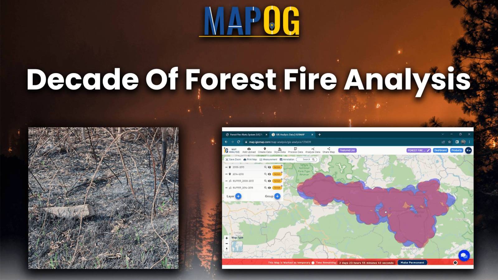
Analysis of Forest Fire and Map Risk Areas with Buffer Tool
Let yourself loose into a memorable exploration of Analysis of Forest Fire and Map Risk Areas by using the Buffer Tool within MAPOG. Dive into the revelations regarding the insights discovered, the new strategies that emerged, and the overall understanding came about relate to wildfire processes in the past 10 years. Data-driven approaches will be introduced to … Read more
