#wildlife_conservation

How to Create Grid Maps for Analysis?

Grid maps are essential for analysing spatial data, helping to break down complex information into smaller, manageable sections. Whether you’re working in urban planning, environmental studies, or business analytics, a well-structured grid map enhances data visualisation and decision-making. In this guide, we’ll explore how to create grid maps effectively and introduce MAPOG’s Create Grid Tool, … Read more

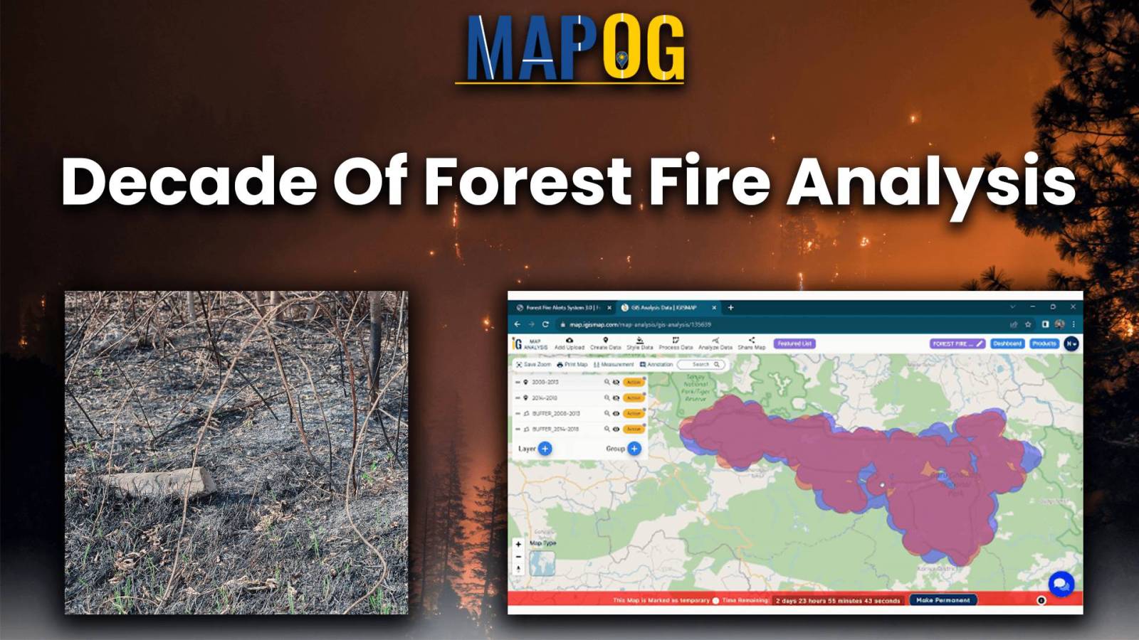
Decade of forest fire analysis

Analysis of Forest Fire and Map Risk Areas with Buffer Tool

Let yourself loose into a memorable exploration of Analysis of Forest Fire and Map Risk Areas by using the Buffer Tool within MAPOG. Dive into the revelations regarding the insights discovered, the new strategies that emerged, and the overall understanding came about relate to wildfire processes in the past 10 years. Data-driven approaches will be introduced to … Read more